
Reviewed trail listing
Pleasant Mountain via Bald Peak and Sue’s Way Trail
⌖ More routes at Pleasant Mountain✓Community
verified
verified
⌁2.7 miDistance
↗1,290 ftElevation gain
△1,783 ftHighest point
◇Out & backModerate
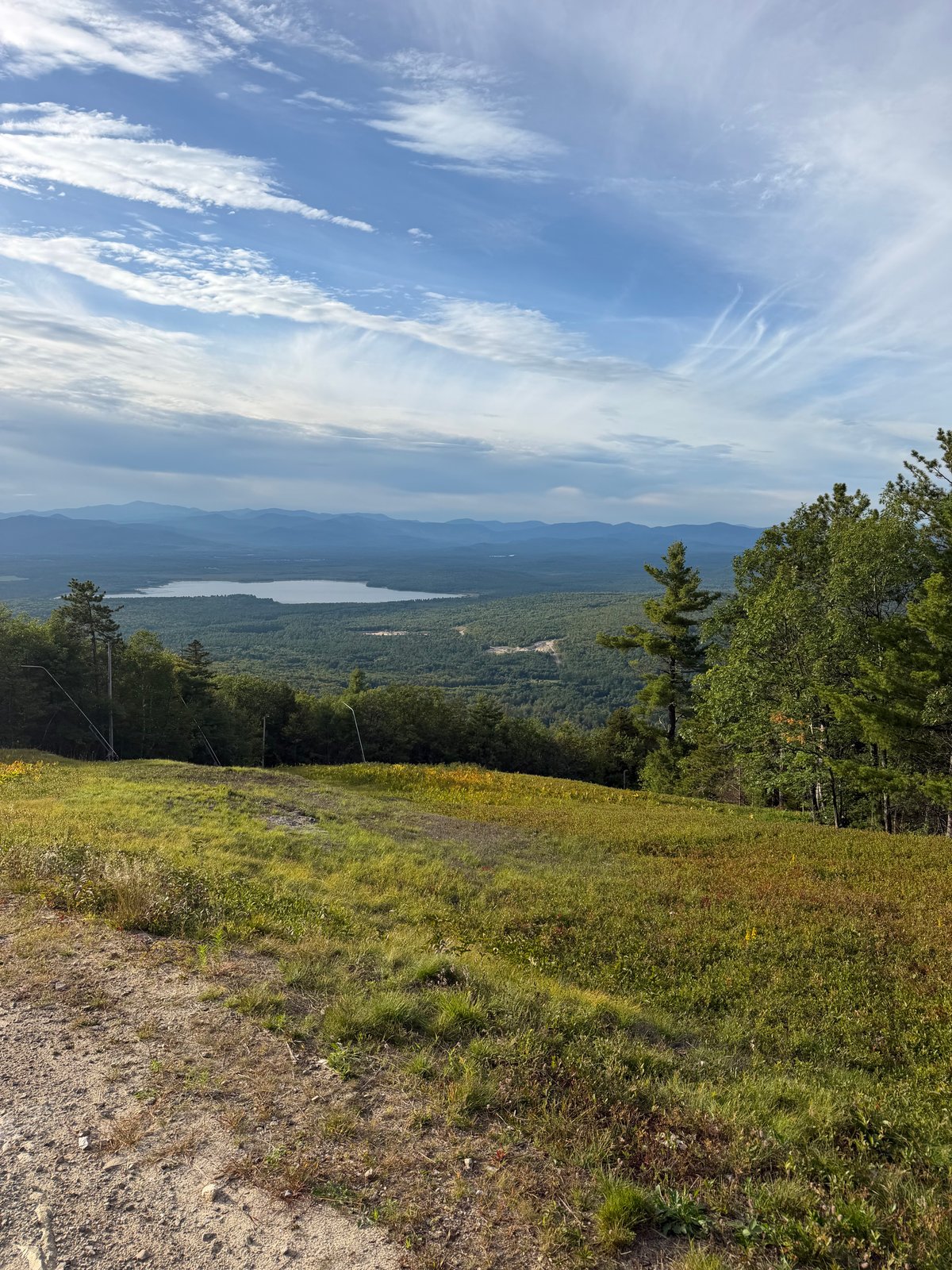
Reviewed trail listing
Know before you go
A steep western-side climb linking the blue-blazed Bald Peak Trail with orange-blazed Sue’s Way beneath Pleasant Mountain’s higher ridgeline.
This recorded route climbs from Mountain Road on the blue-blazed Bald Peak Trail, then uses orange-blazed Sue’s Way to reach the ski-area ridge. The 2.7-mile out-and-back packs about 1,319 feet of gain into a relatively short distance, with the rocky, rooty and occasionally narrow tread typical of Pleasant Mountain.
Trail intersections are signed, but the preserve does not use “you are here” maps, so photograph the kiosk map before leaving the trailhead. The approved line is a selected route on the larger mountain network: Bald Peak Trail continues toward Big Bald Peak and ultimately connects with Pleasant Mountain’s main summit. Dogs must be leashed, and hikers should stay on the marked trail to protect fragile soils.
Route character
Blue Bald Peak and orange Sue’s Way blazes
Short route with sustained climbing
Uneven rocks, roots and stone steps
Part of a larger connected trail network
Recorded by a community hiker and reviewed before publication. Route approved . Mileage follows the approved recorded line. Elevation is shown when a terrain audit or the approved recording provides enough reliable data.
Plan for the climb
Checking the latest forecast…
Forecast for the trailhead. Conditions higher up can be very different.
From the route
Keep exploring

Pleasant Mountain, Maine
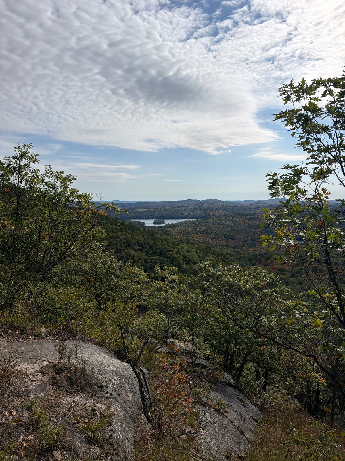
Pleasant Mountain, Maine
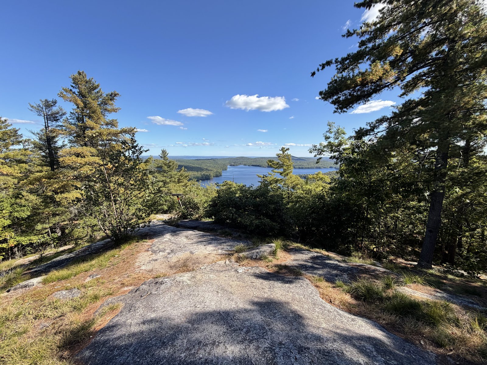
Bald Pate Mountain Preserve, Maine