
New England hiking trails
Your next hike.
Closer to home.
Explore reviewed routes in Maine and New Hampshire, with recorded mileage, elevation gain, original photos, and mapped trailheads. Our New England trail guide grows with every approved hike.
Recently mapped
Fresh from the trail
Each listing is reviewed before it reaches the shared map. Places with multiple routes open to an area guide.
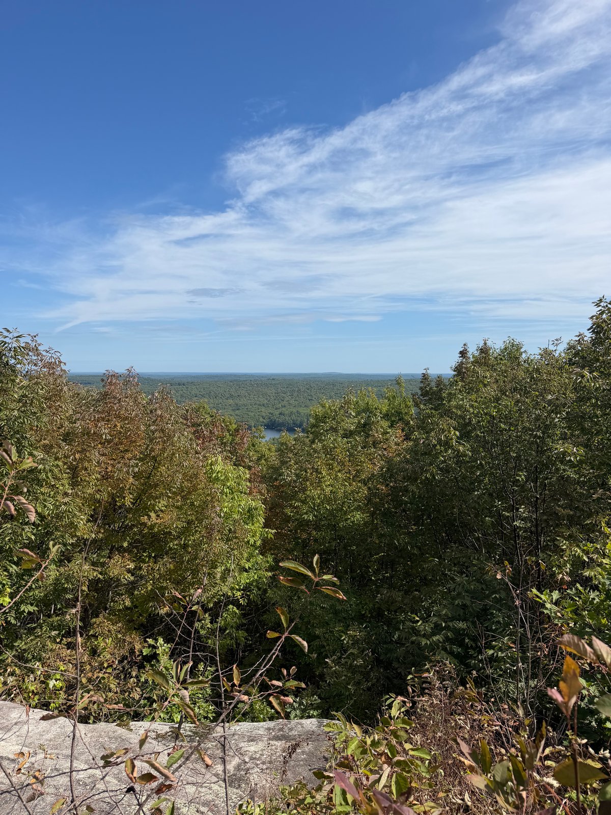 ME · 2 routes
Poland, ME
Black Cat Mountain
Compare 2 hiker-recorded routes at Black Cat Mountain, each with its own mapped line, photos, mileage, climbing, and access details.
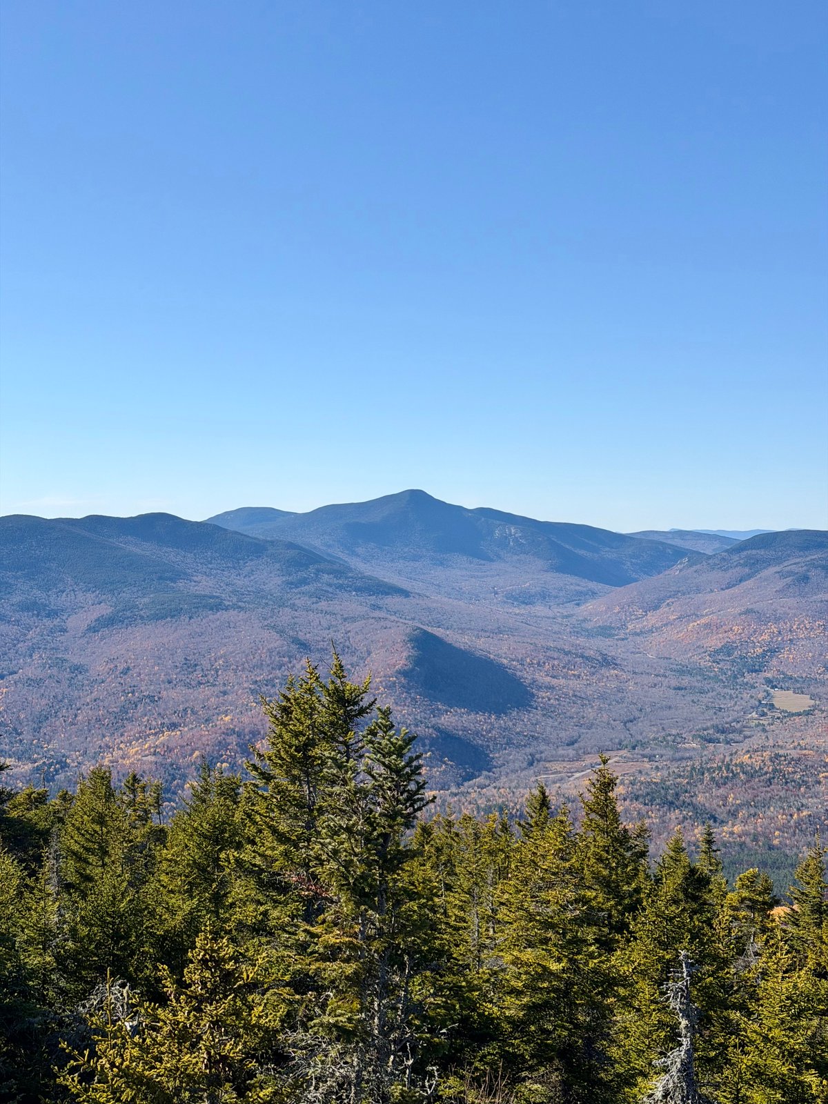
Stewart Family Preserve, Maine
Puzzle Mountain via Grafton Loop Trail
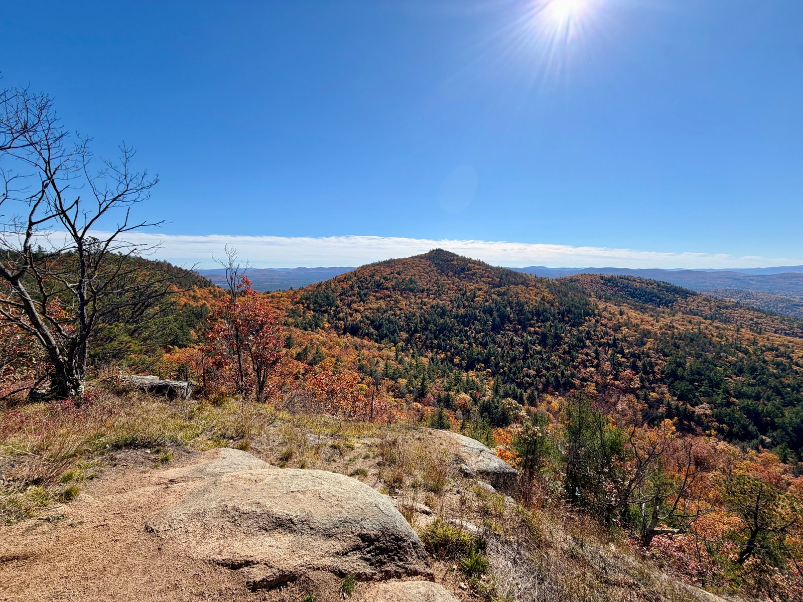
Pinkham Notch, New Hampshire
Peaked Mountain Trail

Mount Tire’m, Maine
Mount Tire’m
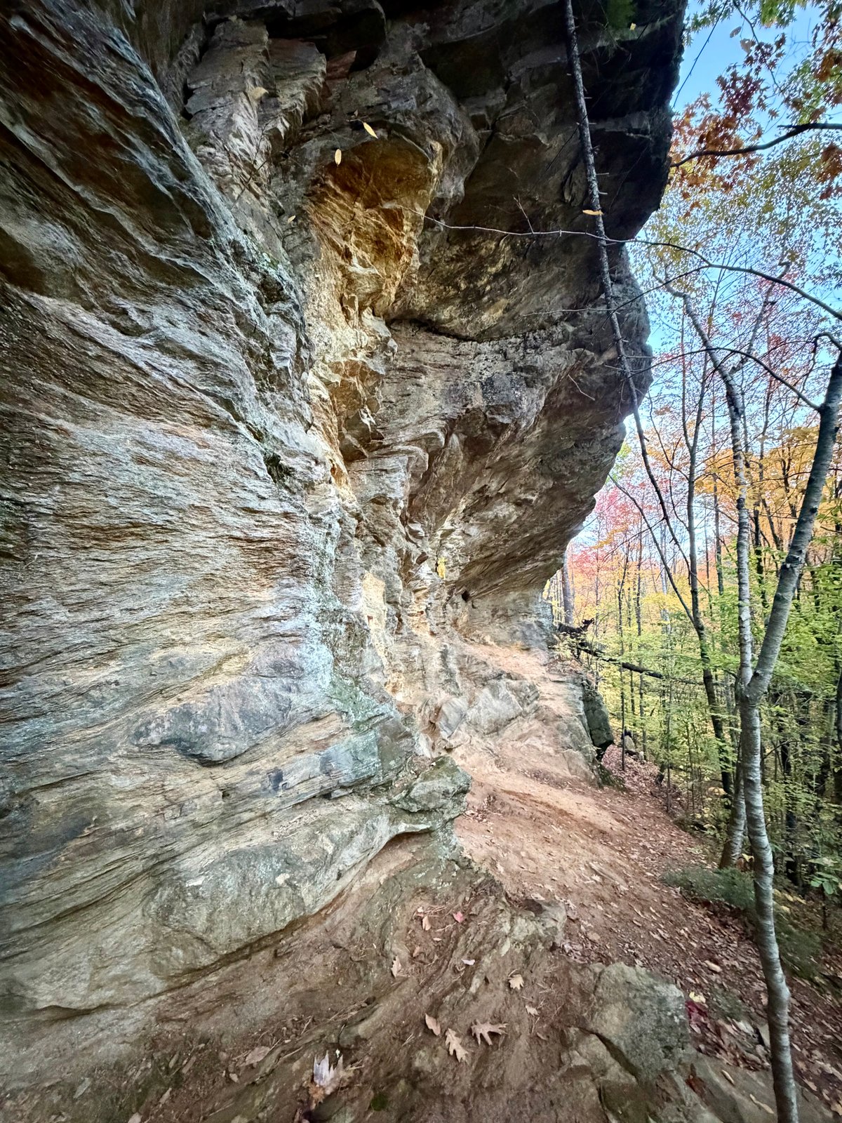
Morgan Meadow Wildlife Management Area, Maine
Morgan Meadow Red Trail to Glover’s Wig Loop

Evergreen Cemetery Woods, Maine
Evergreen Cemetery Woods Loop
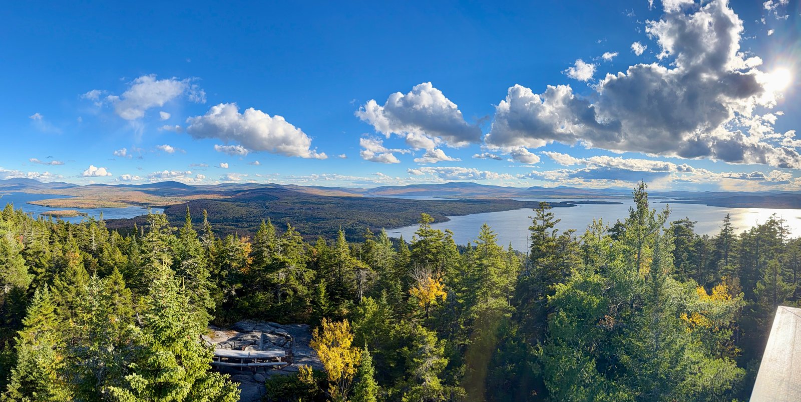
Rangeley, Maine
Bald Mountain via Primary Trail
 ME · 3 routes
Bridgton & Denmark, Maine
Pleasant Mountain
Choose your way up southern Maine’s tallest mountain, with distinct approaches from Ledges Trail and Bald Peak Trail.
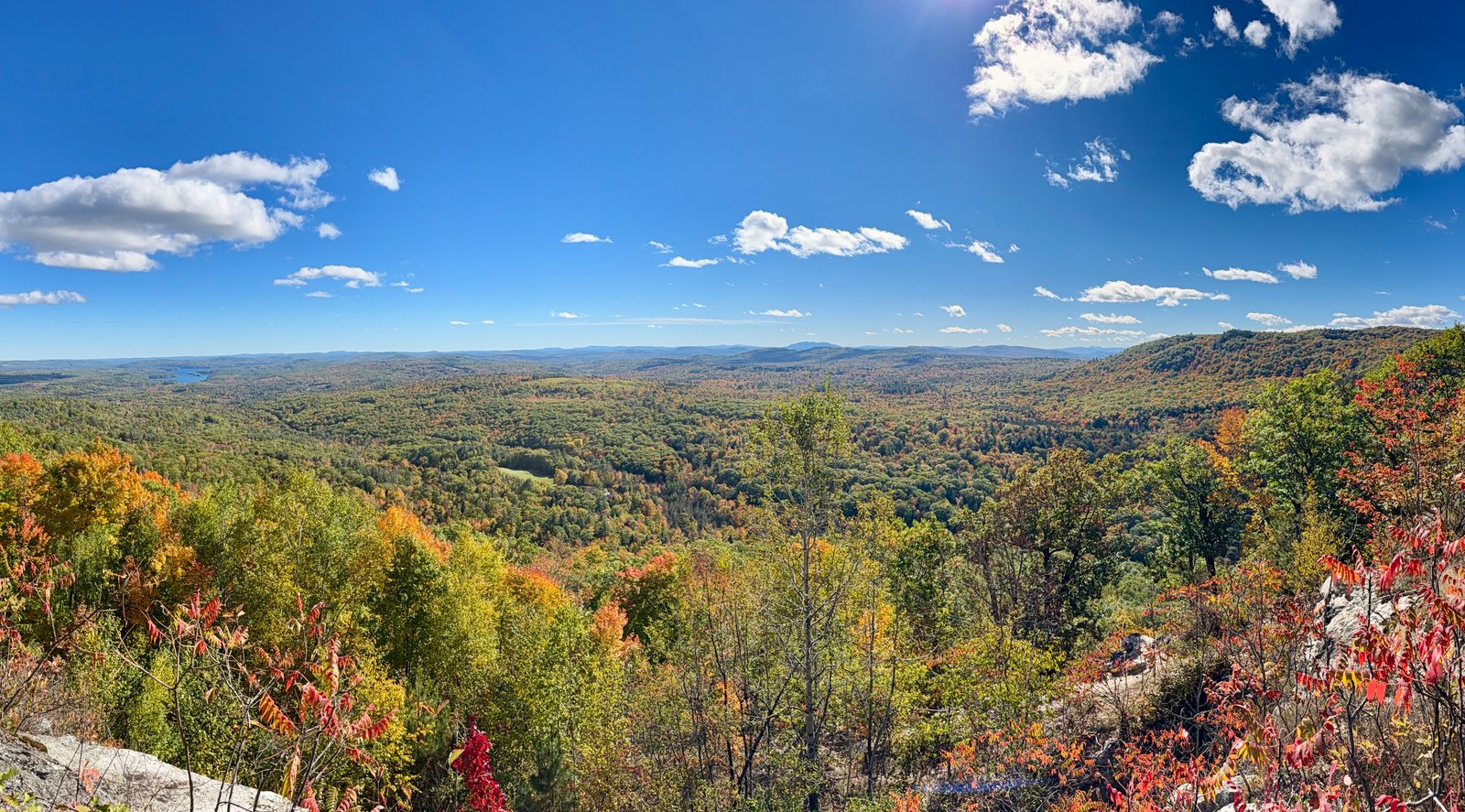
Noyes Mountain Preserve, Maine
Noyes Trail
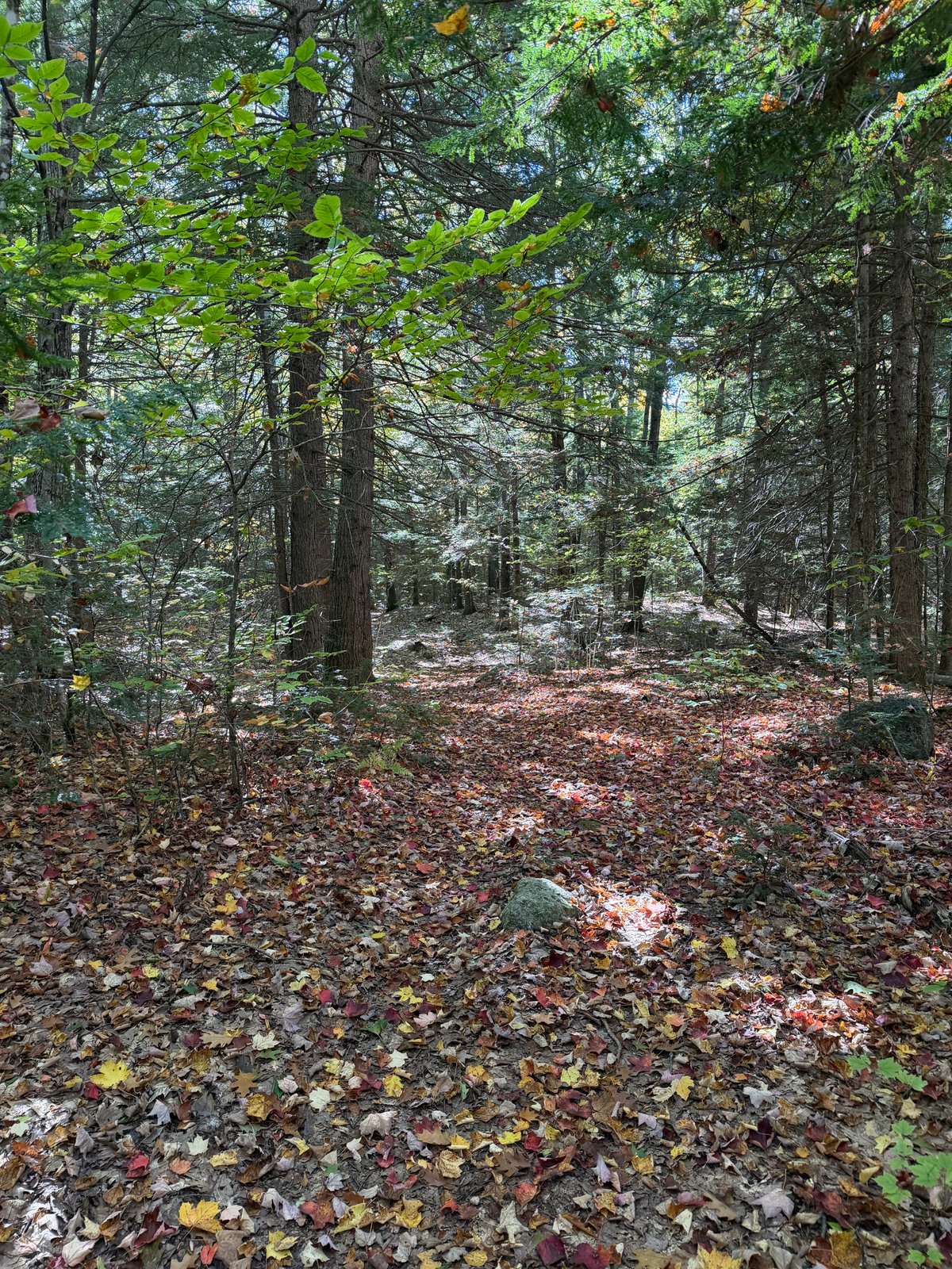 ME · 2 routes
Bragdon Hill Conservation Area & Poland, ME
Bragdon Hill Conservation Area
Compare 2 hiker-recorded routes at Bragdon Hill Conservation Area, each with its own mapped line, photos, mileage, climbing, and access details.
 ME · 2 routes
Waterford, Maine
Hawk Mountain Preserve
A protected hilltop preserve with a three-mile trail network, wooded corridors, and open rocky viewpoints above the surrounding lakes and hills.
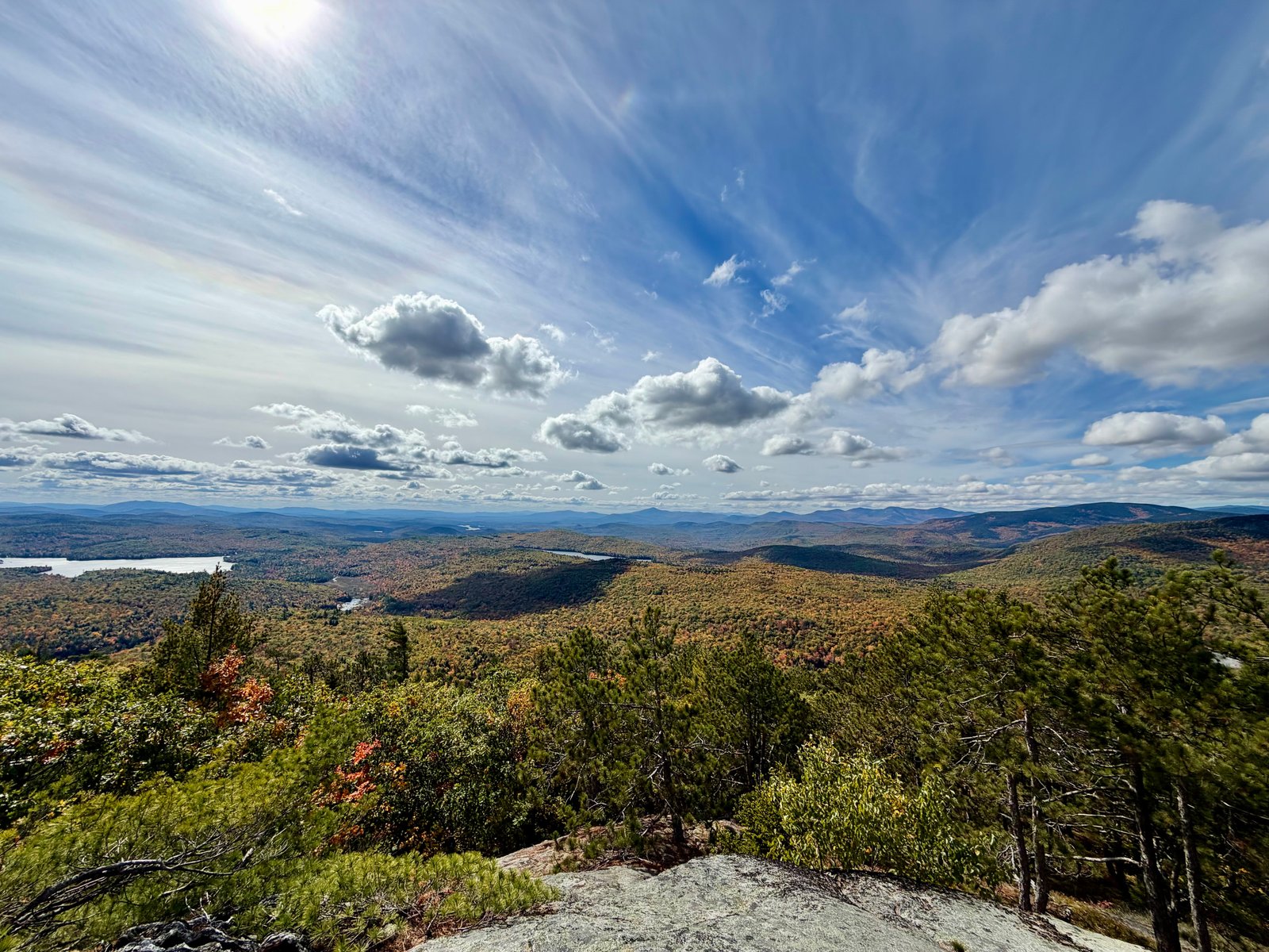
Albany Township, Maine
Albany Mountain Trail

Bucks Ledge Community Forest, Maine
Bucks Ledge

Sebago, Maine
Douglas Mountain via Eagle Scout Trail
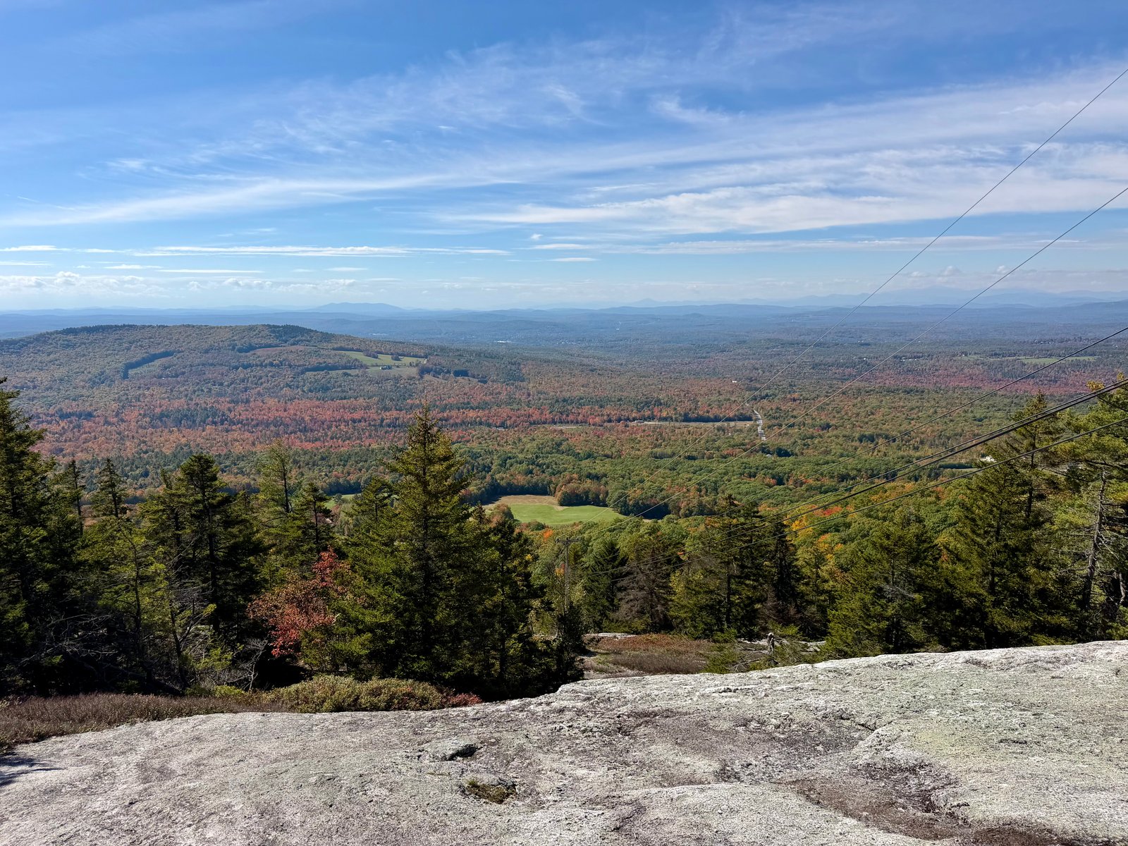
Streaked Mountain, Maine
Streaked Mountain Trail

Vaughan Woods Trailhead, Maine
Vaughan Woods via River Run and Bridle Path Loop

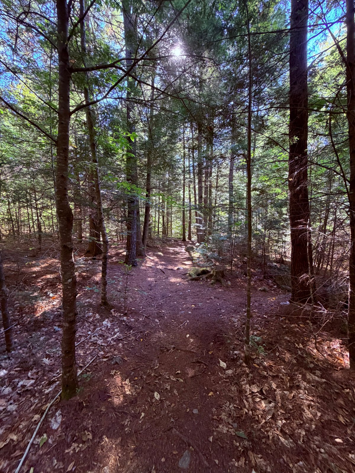
Mount Agamenticus Conservation Region, Maine
Mount Agamenticus via Ring Trail and Sweet Fern
 ME · 2 routes
Raymond, Maine
Raymond Community Forest
A community forest with two very different ways to spend an afternoon: an easy woodland loop and a steeper climb toward Pismire Bluff.
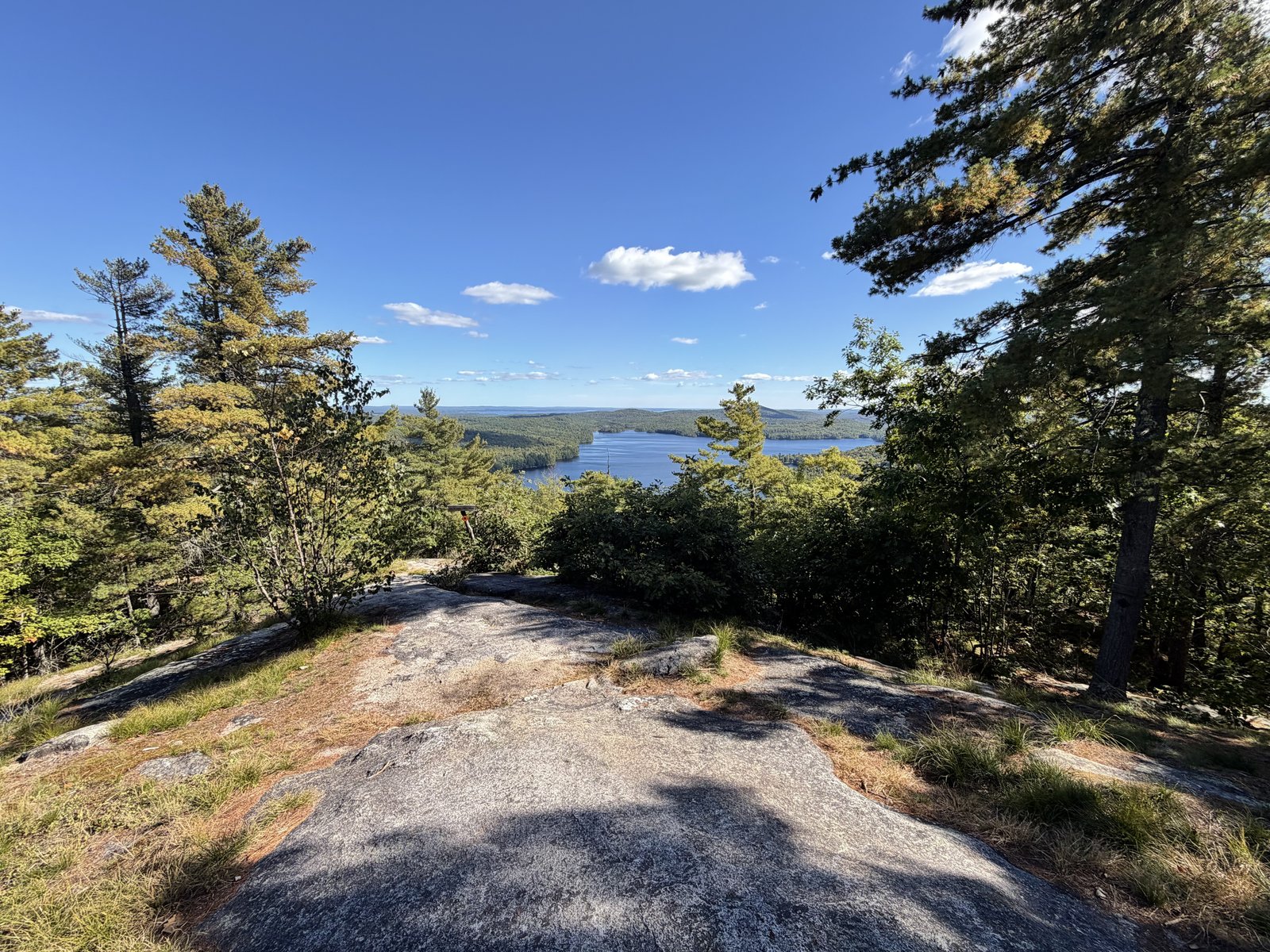
Bald Pate Mountain Preserve, Maine
Bald Pate via Bob Chase Loop Trail

Holt Pond Preserve, Maine
Holt Pond Lookout via Holt Pond Trail
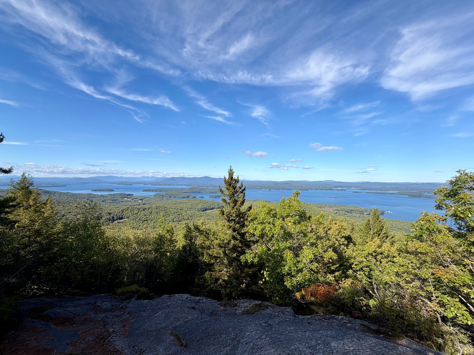 NH · 2 routes
Alton, NH
Mount Major
Compare 2 hiker-recorded routes at Mount Major, each with its own mapped line, photos, mileage, climbing, and access details.
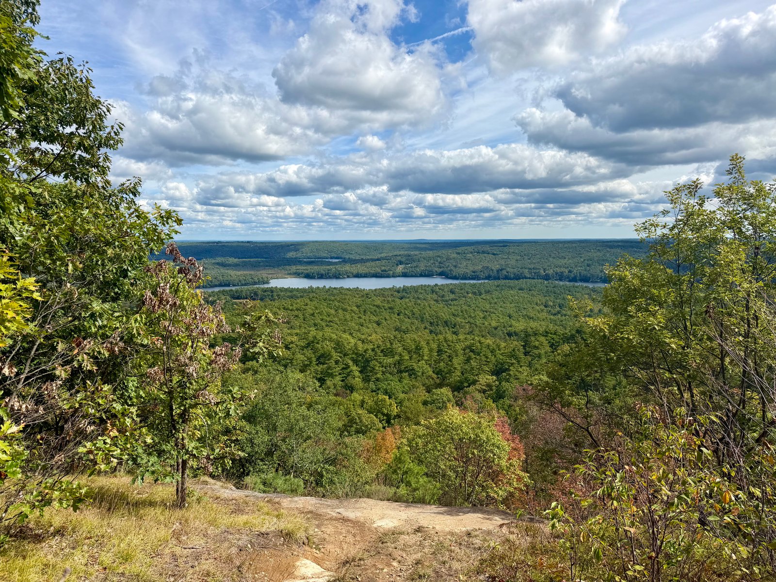
Raymond, Maine
Rattlesnake Mountain via Bri-Mar Trail

Millinocket, Maine
Sandy Stream Pond Trail
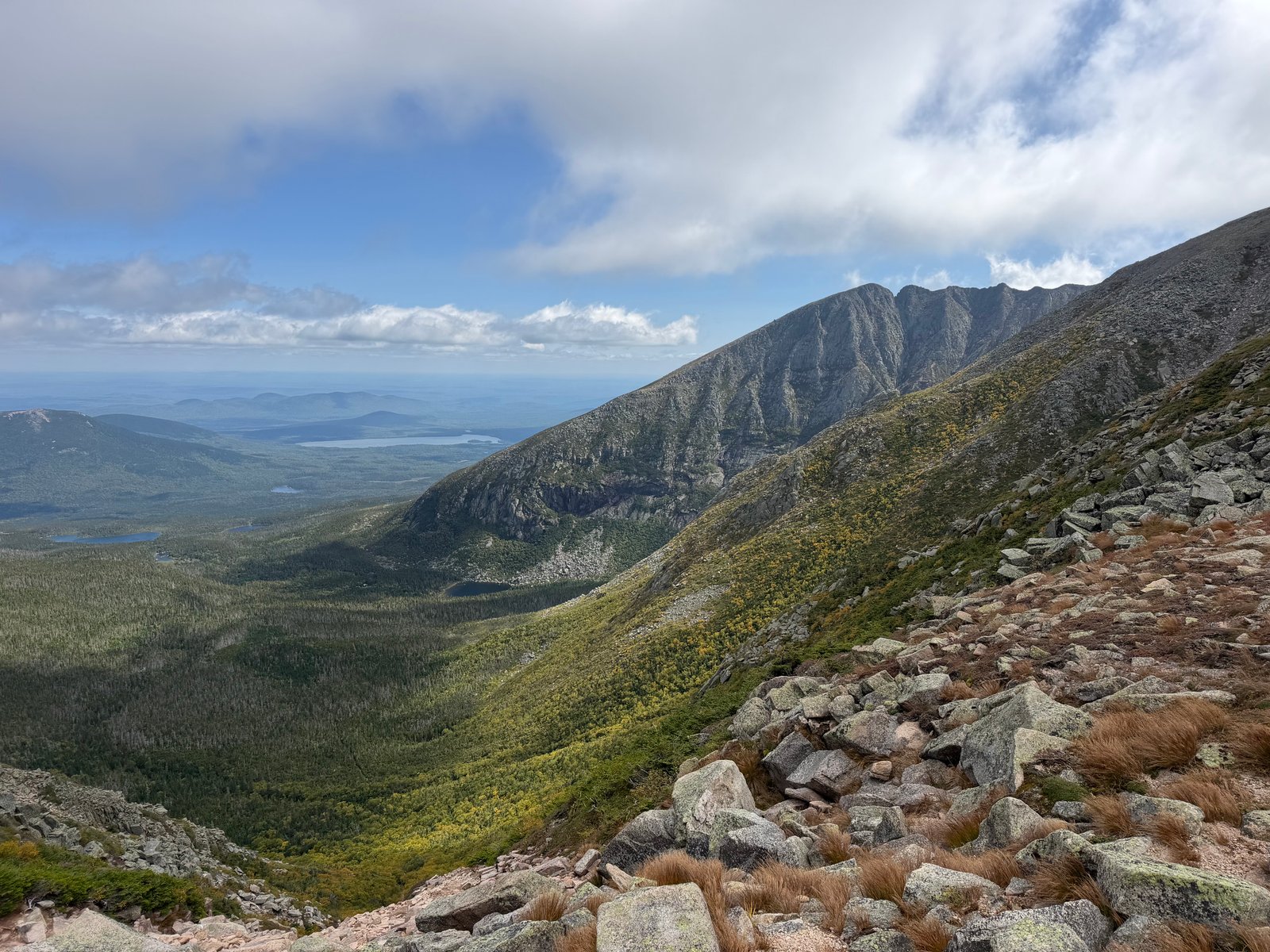
Millinocket, Maine
Baxter Peak via Chimney Pond and Saddle Trail
Find a trail close by
Places in the register
Every approved route joins its local collection automatically.
Poland
3 reviewed routes
→MaineRaymond
3 reviewed routes
→New HampshireAlton
2 reviewed routes
→MaineHawk Mountain Preserve
2 reviewed routes
→MaineMillinocket
2 reviewed routes
→MainePleasant Mountain
2 reviewed routes
→MaineAlbany Township
1 reviewed route
→MaineBald Pate Mountain Preserve
1 reviewed route
→MaineBragdon Hill Conservation Area
1 reviewed route
→MaineBridgton
1 reviewed route
→MaineBucks Ledge Community Forest
1 reviewed route
→MaineEvergreen Cemetery Woods
1 reviewed route
→MaineHolt Pond Preserve
1 reviewed route
→MaineMorgan Meadow Wildlife Management Area
1 reviewed route
→MaineMount Agamenticus Conservation Region
1 reviewed route
→MaineMount Tire’m
1 reviewed route
→MaineNoyes Mountain Preserve
1 reviewed route
→New HampshirePinkham Notch
1 reviewed route
→MaineRangeley
1 reviewed route
→MaineSebago
1 reviewed route
→MaineStewart Family Preserve
1 reviewed route
→MaineStreaked Mountain
1 reviewed route
→MaineVaughan Woods Trailhead
1 reviewed route
→How the map grows
Walk it. Record it.
Leave a clearer trail behind.
Elevation Snob turns completed hikes into private trail journals. Hikers may offer a route for review, and only approved route details and selected photos reach this public guide.
See how community mapping works →