
✓Community
verified
verified
⌁3.9 miDistance
↗1,280 ftElevation gain
△1,743 ftHighest point
◇Out & backModerate
Know before you go
A moderate out-and-back through Green Hills Preserve to Peaked Mountain’s open granite ledges, with broad views across the Mount Washington Valley.
Peaked Mountain Trail climbs through The Nature Conservancy’s Green Hills Preserve to open summit ledges above North Conway. The approved recorded route is an out-and-back measuring about 3.89 miles, with about 1,280 feet of recorded elevation gain.
The Nature Conservancy’s directions describe an approach from Thompson Road and the Pudding Pond parking area, following the power lines to an information kiosk before continuing into the preserve’s trail network. The preserve map identifies the Peaked Mountain Trail and marks the Thompson Road Trailhead. The mapped access for this listing is named Peaked Mountain Trail.
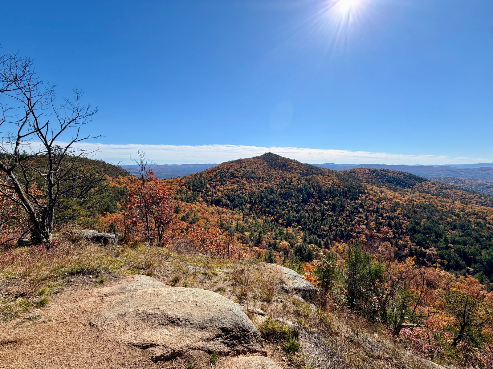
The preserve’s trail guide describes the mountain route climbing over exposed granite slabs, with intermittent red pine and pitch pine near the summit. Open ledges provide views toward Middle Mountain, Black Cap, Mount Chocorua and the Moat Mountain Range. TNC also describes the wider Green Hills landscape as a mosaic of rocky ridges, mixed forest and wetlands, with rare red-pine rocky-ridge habitat.
Distance and elevation gain describe the recorded route; trail character, access context and natural features are drawn from The Nature Conservancy’s preserve guidance and map.
Route character
About 3.89 miles out and back with about 1,280 feet of recorded elevation gain
Exposed granite slabs and open summit ledges
Intermittent red pine and pitch pine near the summit
Views toward Middle Mountain, Black Cap, Mount Chocorua and the Moat Mountain Range
Recorded by a community hiker and reviewed before publication. Route approved . Mileage follows the approved recorded line. Elevation is shown when a terrain audit or the approved recording provides enough reliable data.
Plan for the climb
Checking the latest forecast…
Forecast for the trailhead. Conditions higher up can be very different.
From the route
Keep exploring
Pleasant Mountain, Maine
Bridgton, Maine
Pleasant Mountain, Maine