
✓Community
verified
verified
⌁1.3 miDistance
↗555 ftElevation gain
△1,114 ftHighest point
◇Out & backModerate
Know before you go
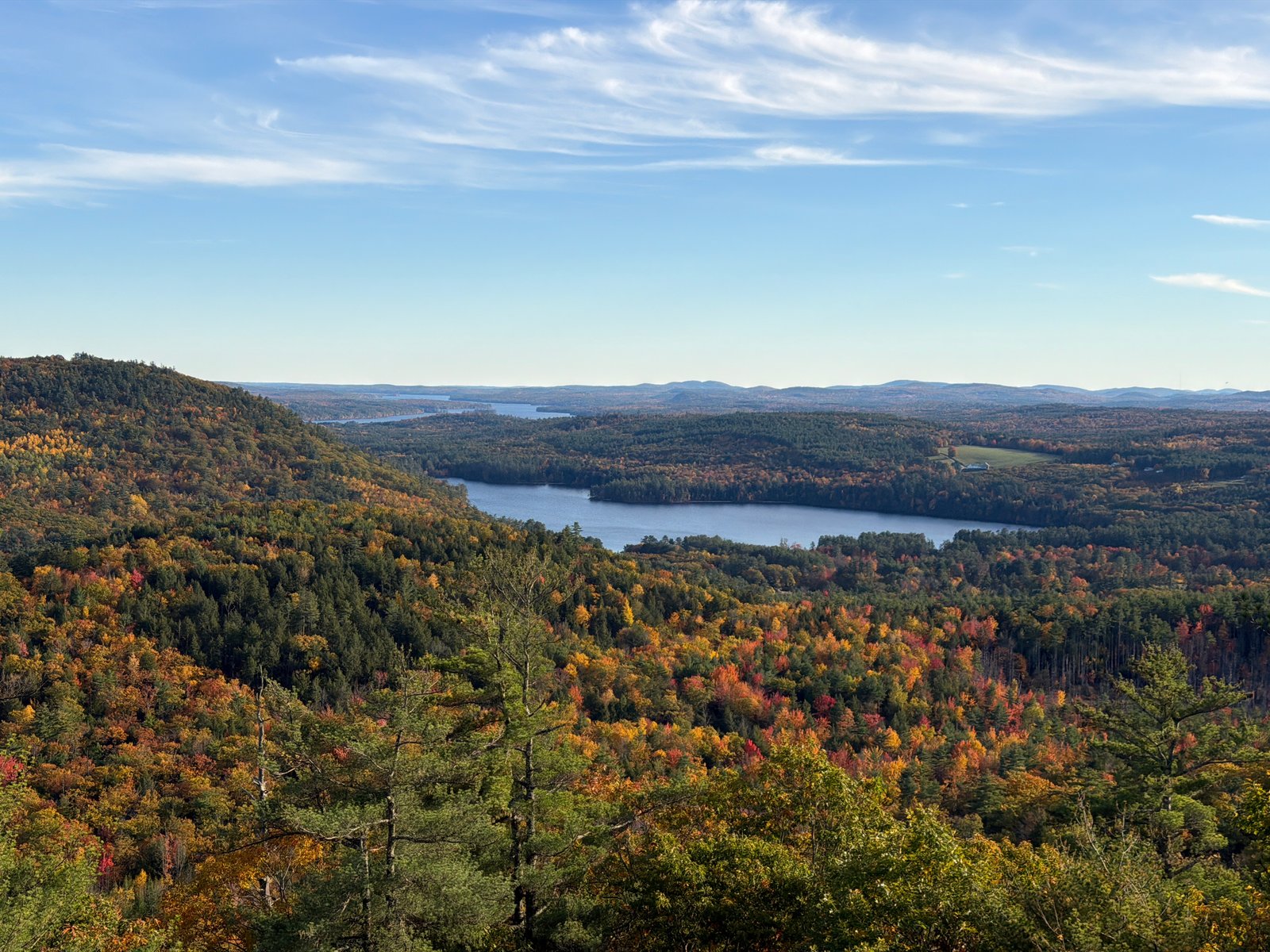
A compact but steep out-and-back from Plummer Hill Road to Mount Tire’m’s granite summit ledges in Waterford, with a ledge outlook over Keoka Lake and a glacial erratic known as Bear Cave.
Mount Tire’m’s Plummer Hill Road approach is a short but steep climb to granite summit ledges in Waterford, Maine. The route follows the same path out and back, measuring 1.27 miles with 555 feet of recorded elevation gain. Maine Trail Finder describes a well-defined but unmarked path with dirt and forest-floor tread mixed with rock and ledge.
The ascent is steep through the first half-mile, reaching a rock-ledge outlook over Keoka Lake. The grade eases on the final approach to the summit. From the granite ledges, views open east and south over Bear Pond, Keoka and Long Lakes, and toward Pleasant Mountain.
Beyond the summit, a large glacial erratic known as Bear Cave sits among the trees. A deep cleft runs through the boulder, making it a distinctive natural landmark. Local trail references identify the Plummer Hill Road route as the Daniel Brown Trail. Route measurements follow the recorded hike; trail character and natural features are drawn from public trail references and Town of Waterford sources.
Route character
1.27-mile out-and-back with 555 feet of recorded elevation gain
Steep Plummer Hill Road approach to granite summit ledges
Ledge outlook over Keoka Lake and views toward Pleasant Mountain
Bear Cave glacial erratic with a deep cleft
Recorded by a community hiker and reviewed before publication. Route approved . Mileage follows the approved recorded line. Elevation is shown when a terrain audit or the approved recording provides enough reliable data.
Plan for the climb
Checking the latest forecast…
Forecast for the trailhead. Conditions higher up can be very different.
From the route
Keep exploring
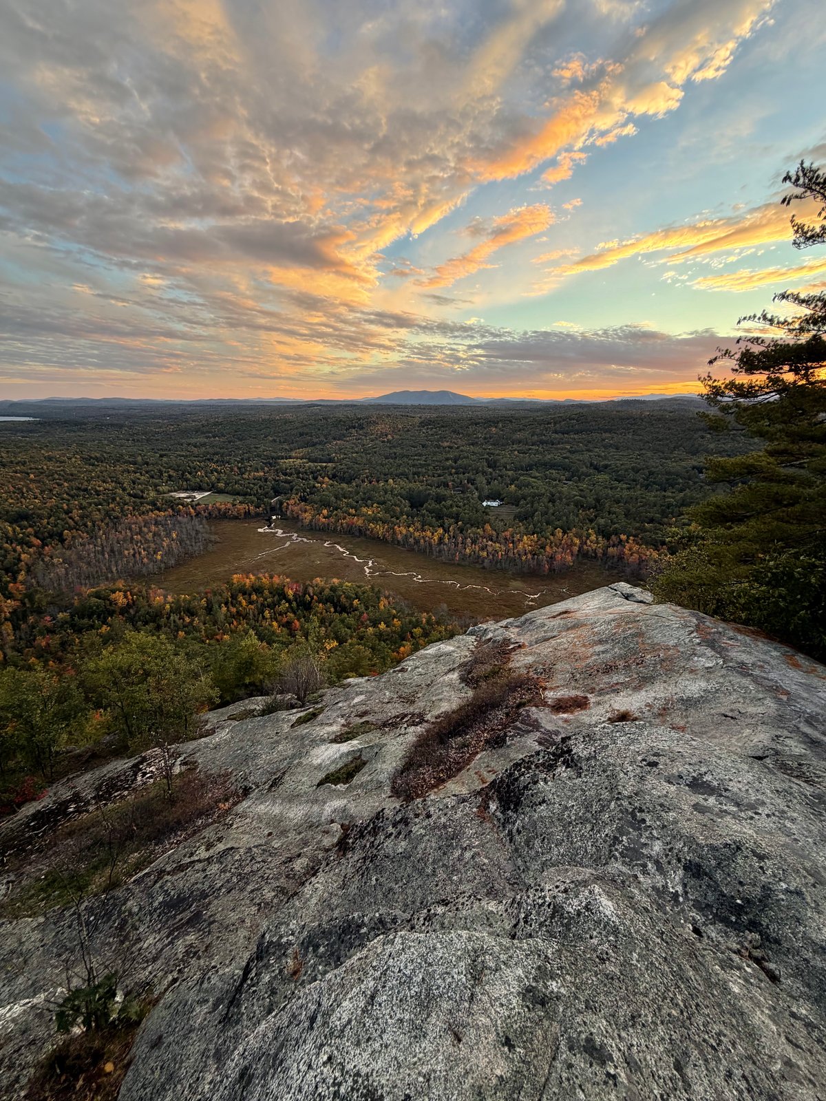
Hawk Mountain Preserve, Maine
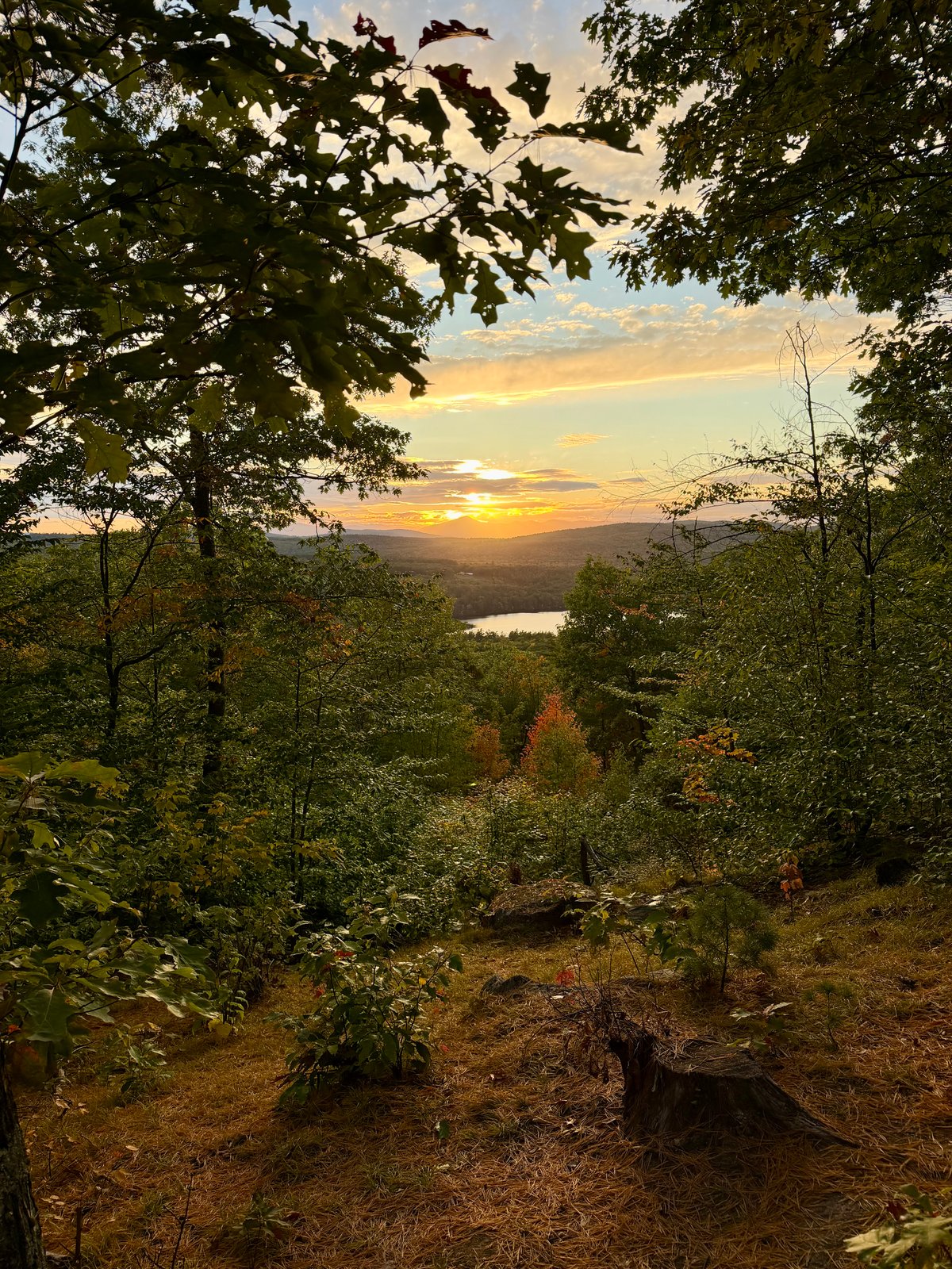
Hawk Mountain Preserve, Maine
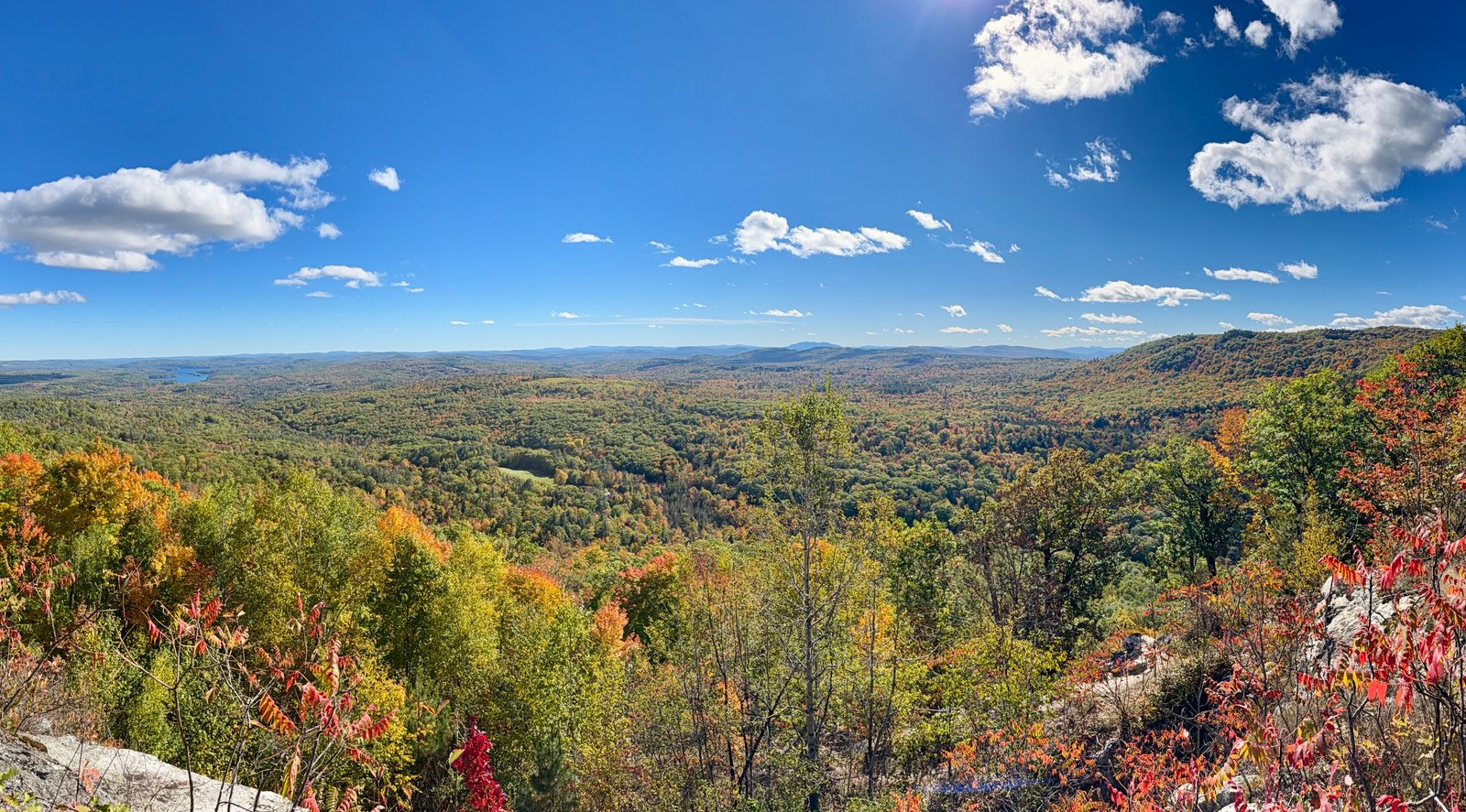
Noyes Mountain Preserve, Maine