State trail guide

Hikes in
Maine.

28 hiker-recorded routes have been reviewed and added to the public trail register.

28Routes22Places to explore

Choose your route

Across Maine

Trail at Black Cat MountainME · 2 routes

Poland, ME

Black Cat Mountain

Compare 2 hiker-recorded routes at Black Cat Mountain, each with its own mapped line, photos, mileage, climbing, and access details.
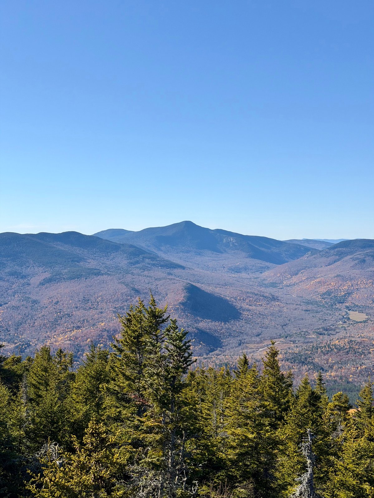
Black Cat Mountain via Tower RoadBlack Cat Mountain Summit Trail
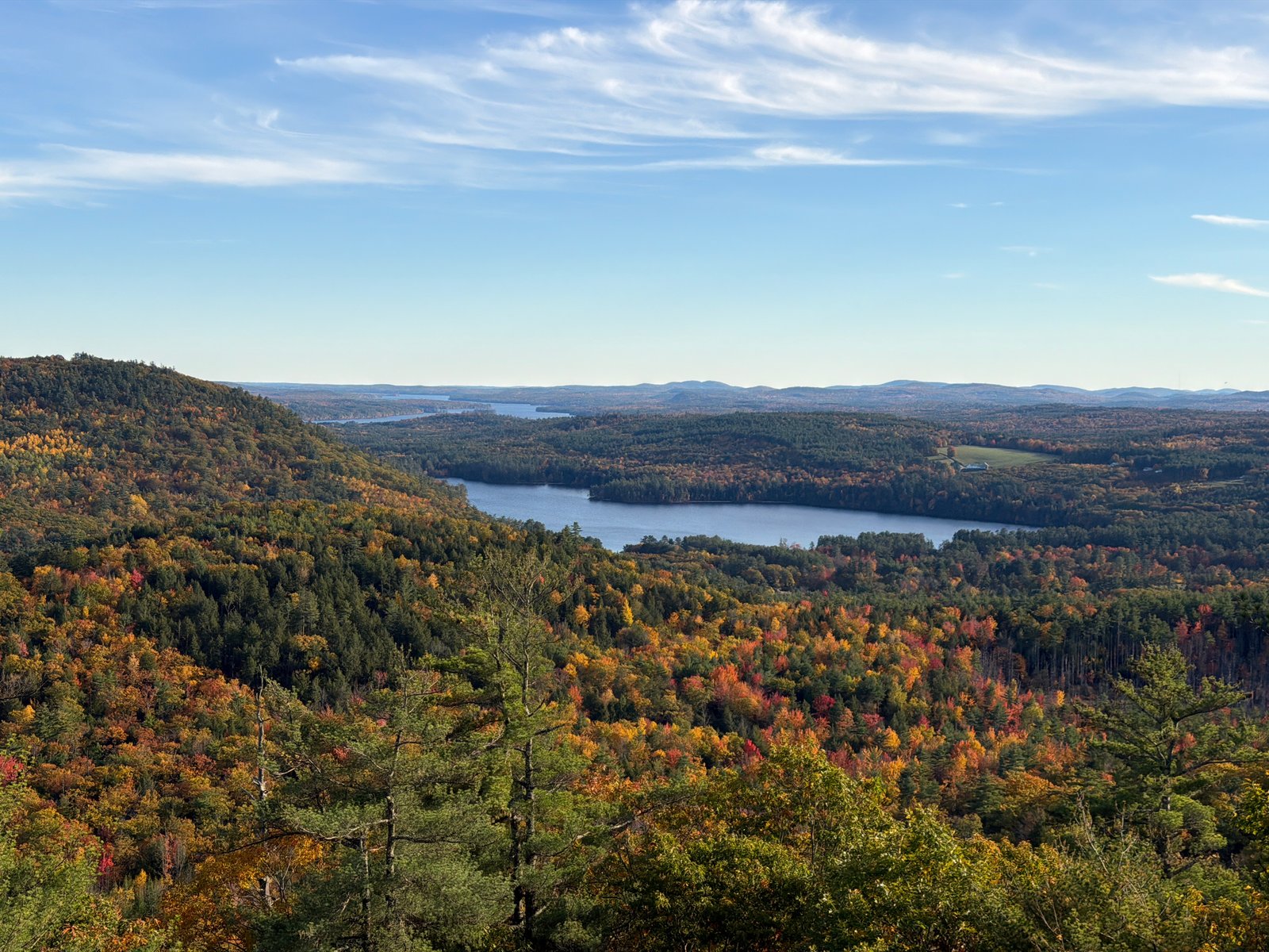
View from Puzzle Mountain via Grafton Loop Trail
Route preview coming soon
ME

Stewart Family Preserve, Maine

Puzzle Mountain via Grafton Loop Trail

5.9 miDistance2,600 ftElevation gainHardDifficulty
View from Mount Tire’m
Route preview coming soon
ME

Mount Tire’m, Maine

Mount Tire’m

1.3 miDistance555 ftElevation gainModerateDifficulty
View from Morgan Meadow Red Trail to Glover’s Wig Loop
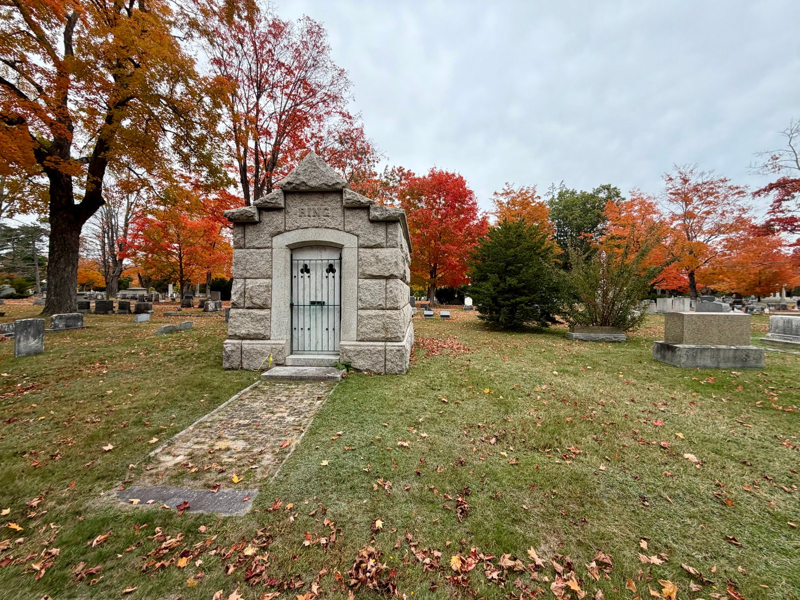
Route preview coming soon
ME

Morgan Meadow Wildlife Management Area, Maine

Morgan Meadow Red Trail to Glover’s Wig Loop

1.7 miDistance290 ftElevation gainEasyDifficulty
View from Evergreen Cemetery Woods Loop
Route preview coming soon
ME

Evergreen Cemetery Woods, Maine

Evergreen Cemetery Woods Loop
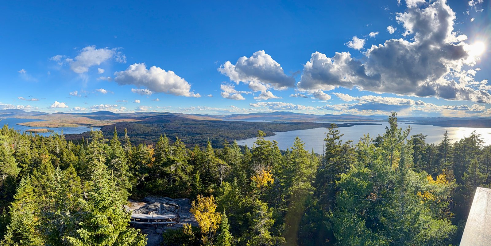
1.4 miDistance101 ftElevation gainEasyDifficulty
View from Bald Mountain via Primary Trail
Route preview coming soon
ME

Rangeley, Maine

Bald Mountain via Primary Trail
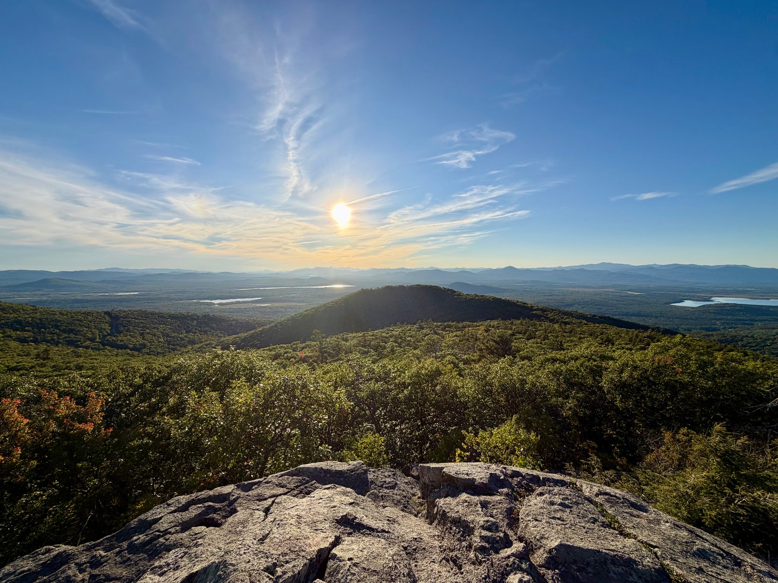
2.4 miDistance945 ftElevation gainModerateDifficulty
Trail at Pleasant MountainME · 3 routes

Bridgton & Denmark, Maine

Pleasant Mountain

Choose your way up southern Maine’s tallest mountain, with distinct approaches from Ledges Trail and Bald Peak Trail.
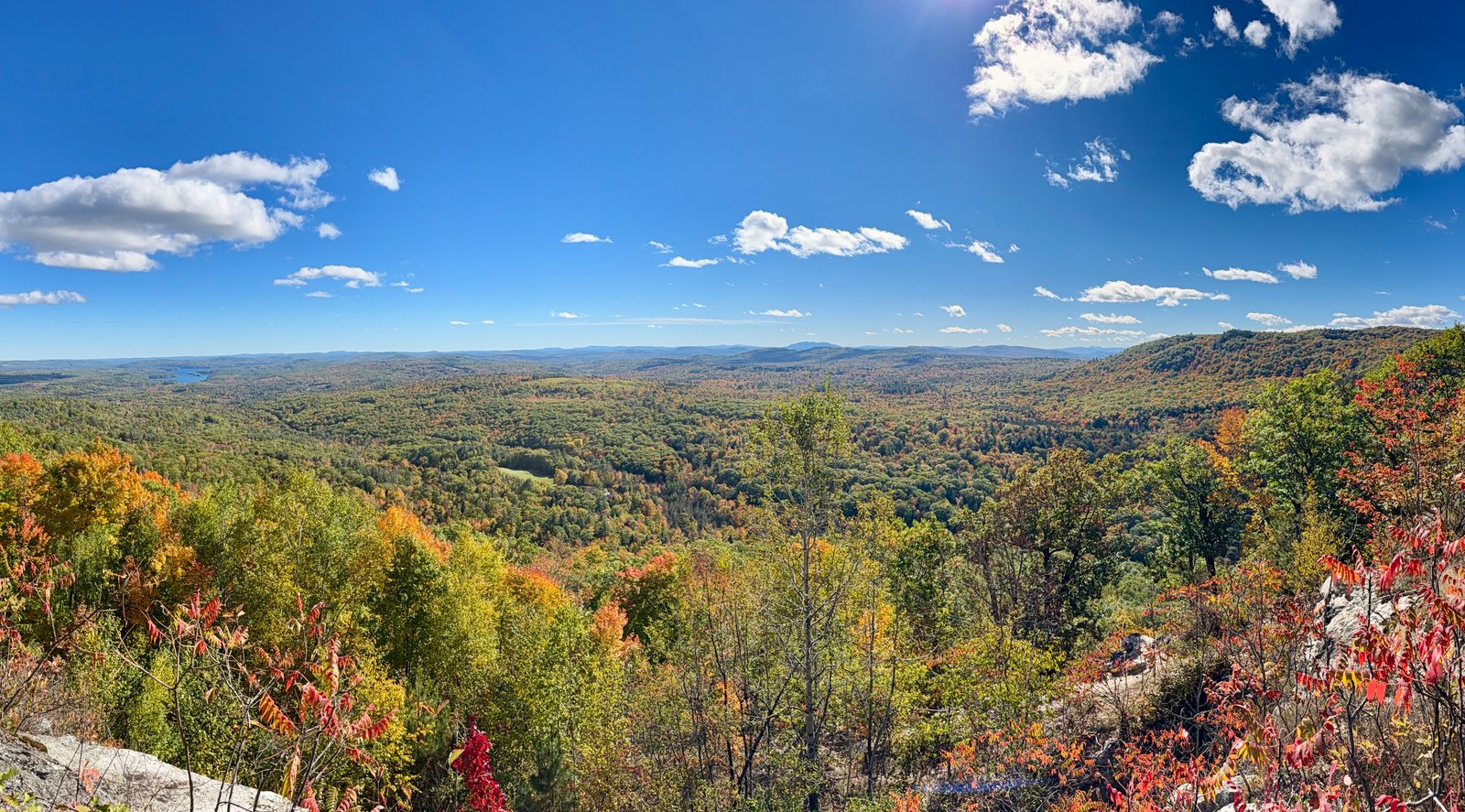
Pleasant Mountain via Southwest Ridge TrailPleasant Mountain via Ledges TrailPleasant Mountain via Bald Peak and Sue’s Way Trail
View from Noyes Trail
Route preview coming soon
ME

Noyes Mountain Preserve, Maine

Noyes Trail
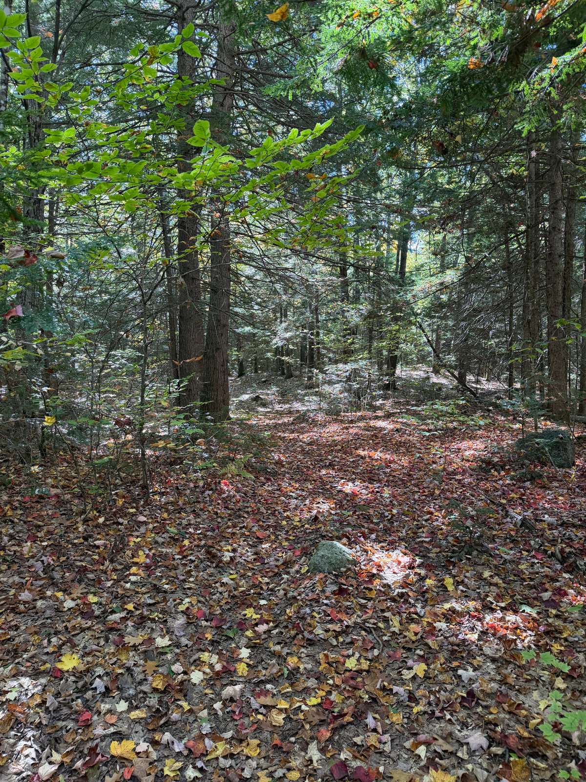
2.5 miDistance870 ftElevation gainModerateDifficulty
Trail at Bragdon Hill Conservation AreaME · 2 routes

Bragdon Hill Conservation Area & Poland, ME

Bragdon Hill Conservation Area

Compare 2 hiker-recorded routes at Bragdon Hill Conservation Area, each with its own mapped line, photos, mileage, climbing, and access details.
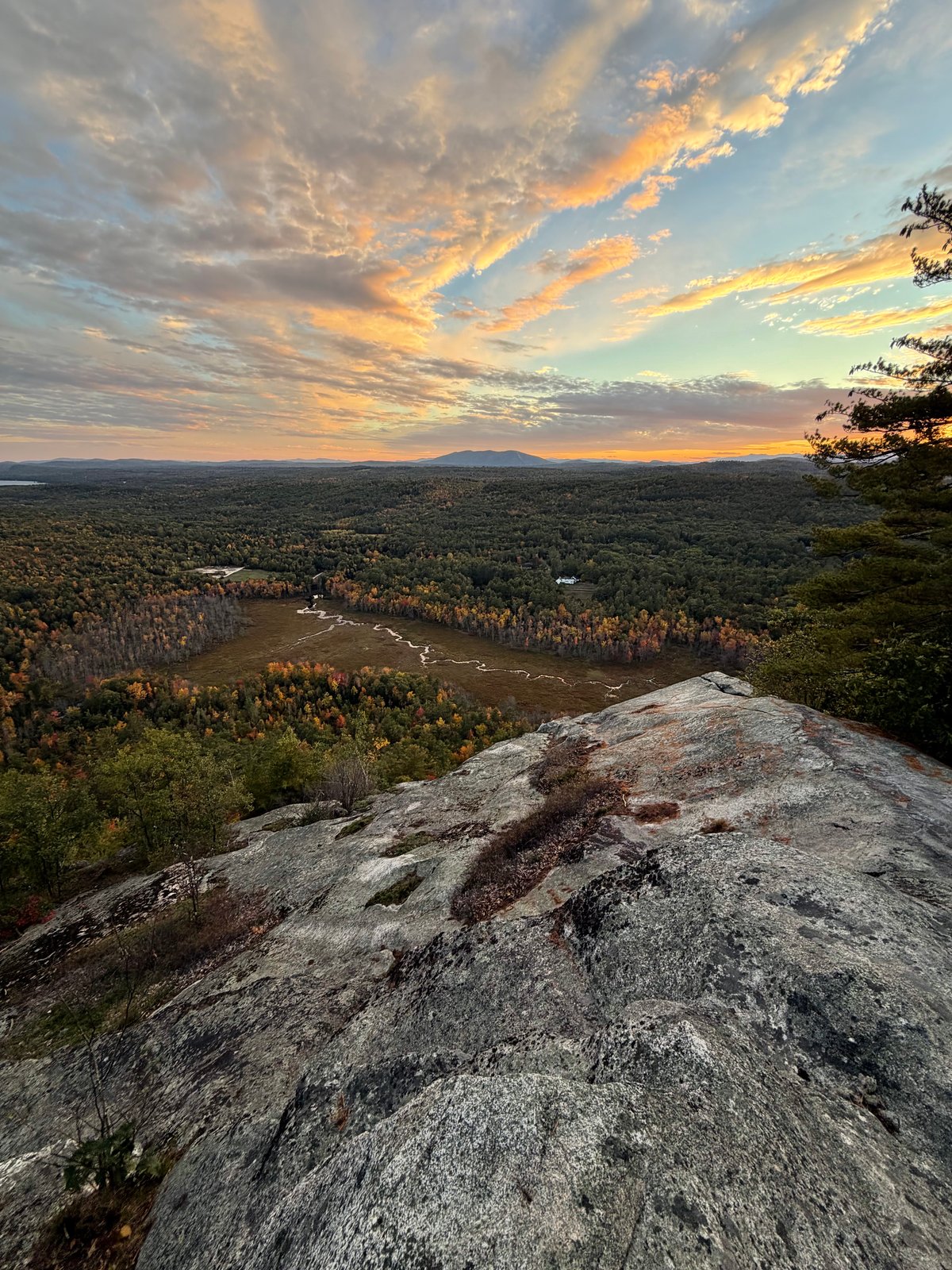
Hemlock, White Pine and Beech LoopHemlock Trail
Trail at Hawk Mountain PreserveME · 2 routes

Waterford, Maine

Hawk Mountain Preserve

A protected hilltop preserve with a three-mile trail network, wooded corridors, and open rocky viewpoints above the surrounding lakes and hills.
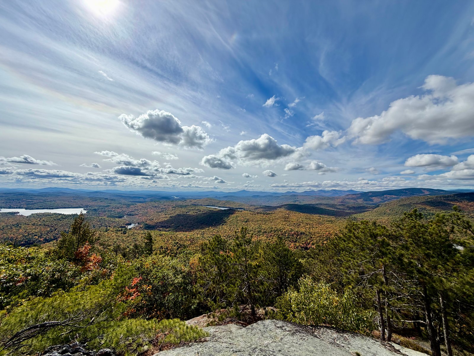
Hawk Mountain via America, Africa and Hannibal TrailsHawk Mountain Summit via Cyrus and Main trails
View from Albany Mountain Trail
Route preview coming soon
ME

Albany Township, Maine

Albany Mountain Trail

4.6 miDistance1,404 ftElevation gainModerateDifficulty
View from Bucks Ledge
Route preview coming soon
ME

Bucks Ledge Community Forest, Maine

Bucks Ledge
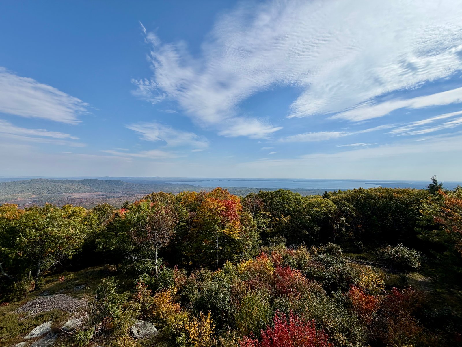
2.4 miDistance491 ftElevation gainEasyDifficulty
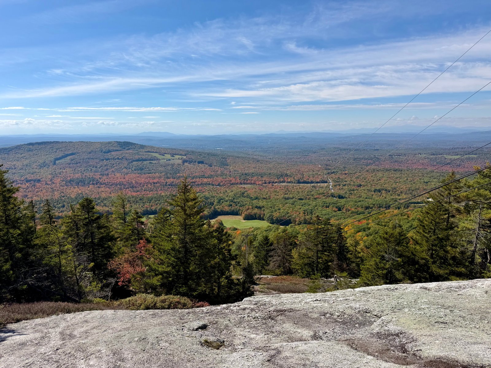
View from Douglas Mountain via Eagle Scout Trail
Route preview coming soon
ME

Sebago, Maine

Douglas Mountain via Eagle Scout Trail

2.5 miDistance670 ftElevation gainEasyDifficulty
View from Streaked Mountain Trail
Route preview coming soon
ME

Streaked Mountain, Maine

Streaked Mountain Trail
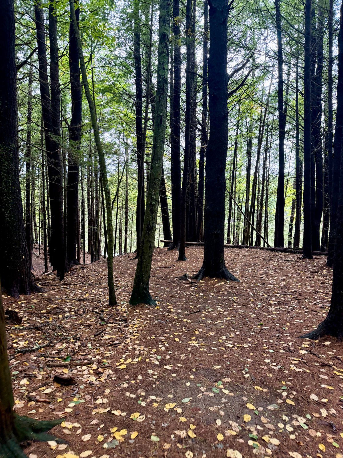
1.1 miDistance717 ftElevation gainModerateDifficulty
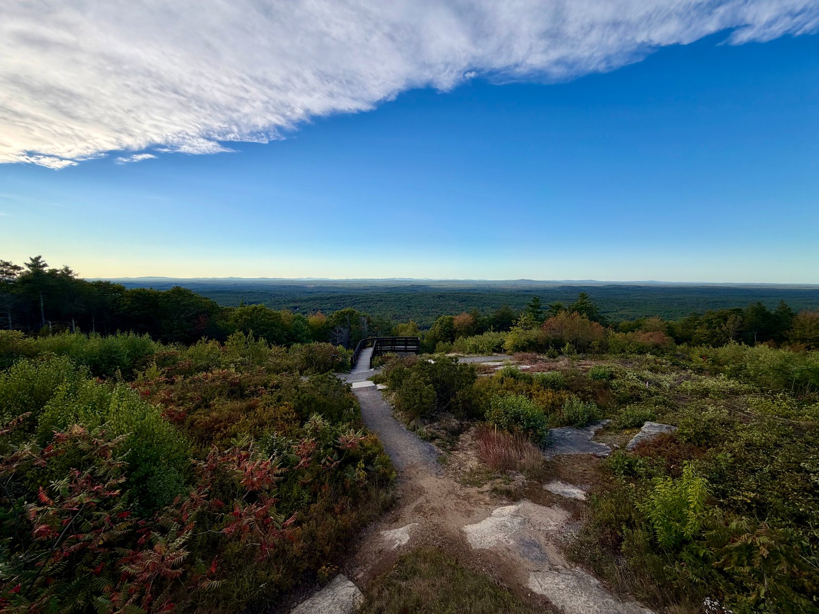
View from Vaughan Woods via River Run and Bridle Path Loop
Route preview coming soon
ME

Vaughan Woods Trailhead, Maine

Vaughan Woods via River Run and Bridle Path Loop

2.0 miDistance307 ftElevation gainEasyDifficulty
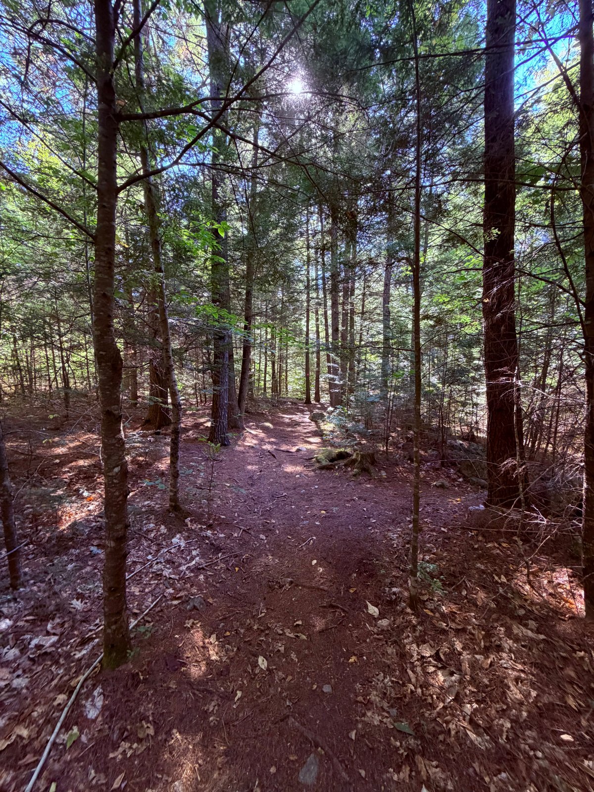
View from Mount Agamenticus via Ring Trail and Sweet Fern
Route preview coming soon
ME

Mount Agamenticus Conservation Region, Maine

Mount Agamenticus via Ring Trail and Sweet Fern

2.0 miDistance423 ftElevation gainEasyDifficulty
Trail at Raymond Community ForestME · 2 routes

Raymond, Maine

Raymond Community Forest

A community forest with two very different ways to spend an afternoon: an easy woodland loop and a steeper climb toward Pismire Bluff.
Spiller Homestead LoopPismire Bluff Trail
View from Bald Pate via Bob Chase Loop Trail
Route preview coming soon
ME

Bald Pate Mountain Preserve, Maine

Bald Pate via Bob Chase Loop Trail

1.4 miDistance380 ftElevation gainEasyDifficulty
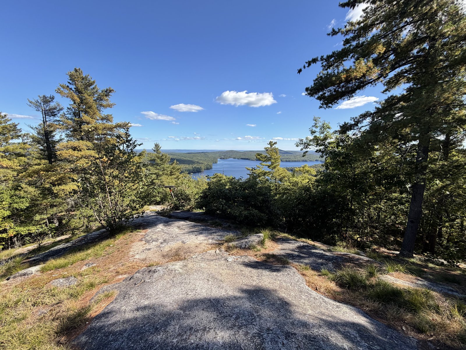
View from Holt Pond Lookout via Holt Pond Trail
Route preview coming soon
ME

Holt Pond Preserve, Maine

Holt Pond Lookout via Holt Pond Trail
1.0 miDistance59 ftElevation gainEasyDifficulty
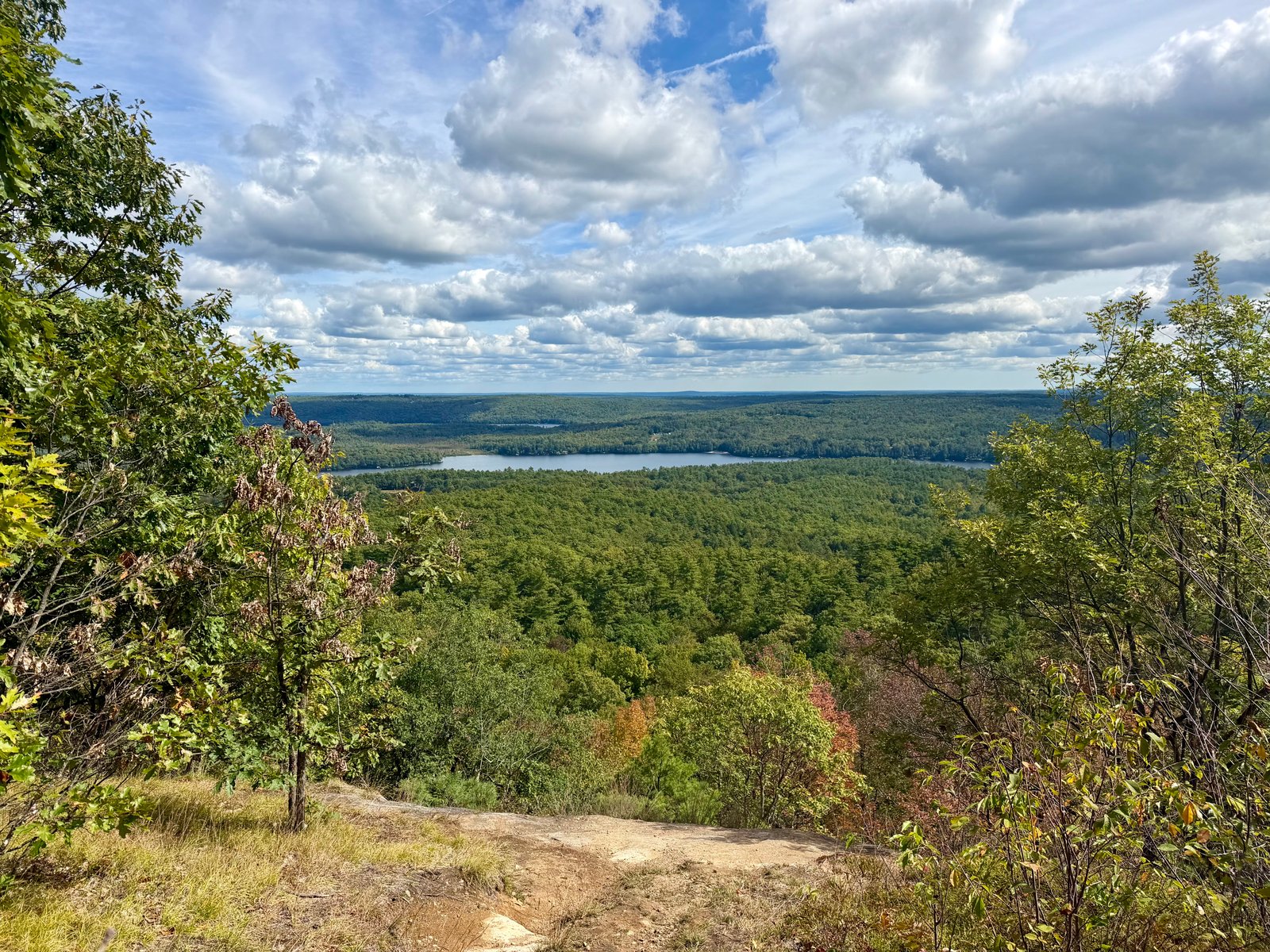
View from Rattlesnake Mountain via Bri-Mar Trail
Route preview coming soon
ME

Raymond, Maine

Rattlesnake Mountain via Bri-Mar Trail

2.3 miDistance649 ftElevation gainEasyDifficulty
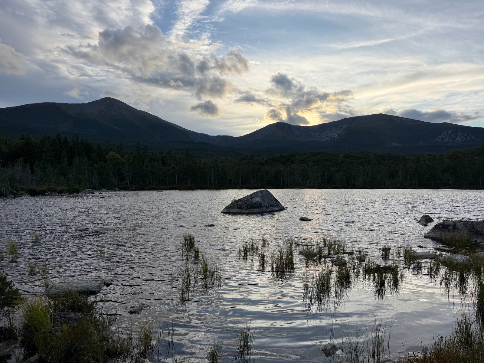
View from Sandy Stream Pond Trail
Route preview coming soon
ME

Millinocket, Maine

Sandy Stream Pond Trail
1.0 miDistance80 ftElevation gainEasyDifficulty
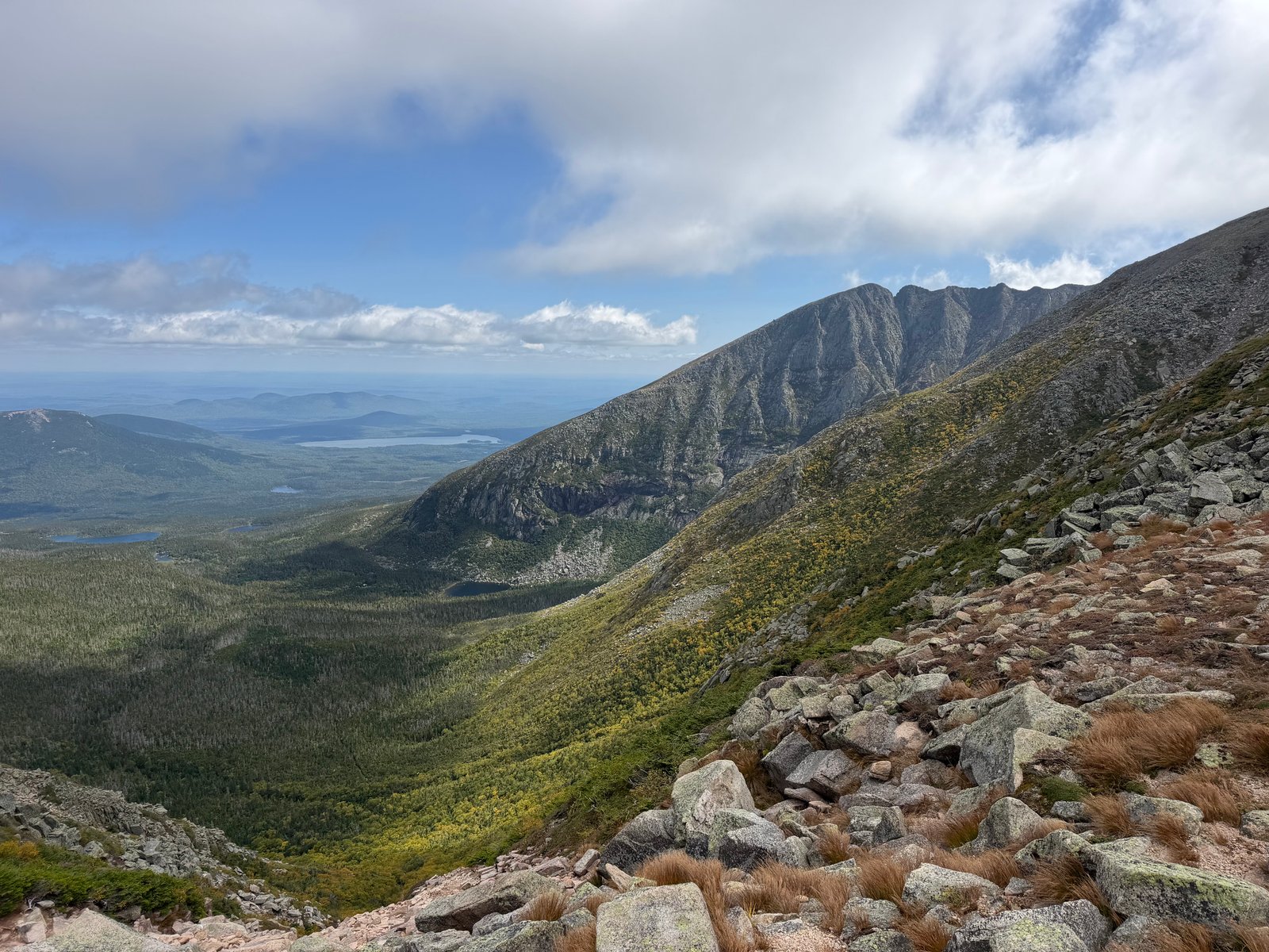
View from Baxter Peak via Chimney Pond and Saddle Trail
Route preview coming soon
ME

Millinocket, Maine

Baxter Peak via Chimney Pond and Saddle Trail

11 miDistance4,029 ftElevation gainHardDifficulty