✓Community
verified
verified
⌁1.0 miDistance
↗80 ftElevation gain
△1,517 ftHighest point
◇Out & backEasy
Know before you go
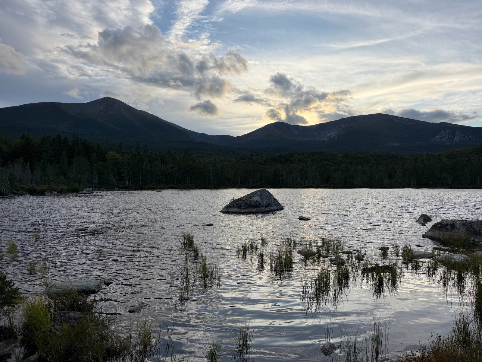
A gentle walk from Roaring Brook to a celebrated wildlife pond, with boardwalk viewpoints and a chance to see moose beneath Katahdin.
Sandy Stream Pond is a short, nearly level walk from Roaring Brook and one of Baxter State Park’s best-known wildlife-viewing destinations. The approved out-and-back line measures 1.0 mile with about 59 feet of gain, leading through the forest to established walkways and pond viewpoints.
Moose and other wildlife may appear here, especially during quieter parts of the day, but sightings are never guaranteed. Approach the pond quietly, give animals plenty of room and remain on the established trails and boardwalks. Roaring Brook is a busy Katahdin trailhead with controlled parking, so check the park’s current access guidance before leaving home.
Route character
Gentle one-mile out-and-back
Established pond walkways and viewpoints
Popular wildlife-watching area
Check current Roaring Brook access rules
This route starts at Roaring Brook in Baxter State Park. Check the park’s current entrance and trailhead parking requirements before driving; a short pond walk still depends on access to this busy trailhead.
The route leads to established pond viewpoints. Stay on the trails and walkways, watch quietly, and give animals space. Wildlife sightings are a possibility, never a promise.
Recorded by a community hiker and reviewed before publication. Route approved . Mileage follows the approved recorded line. Elevation is shown when a terrain audit or the approved recording provides enough reliable data.
Plan for the climb
Checking the latest forecast…
Forecast for the trailhead. Conditions higher up can be very different.
From the route