✓Community
verified
verified
⌁11 miDistance
↗4,029 ftElevation gain
△5,271 ftHighest point
◇Out & backHard
Know before you go
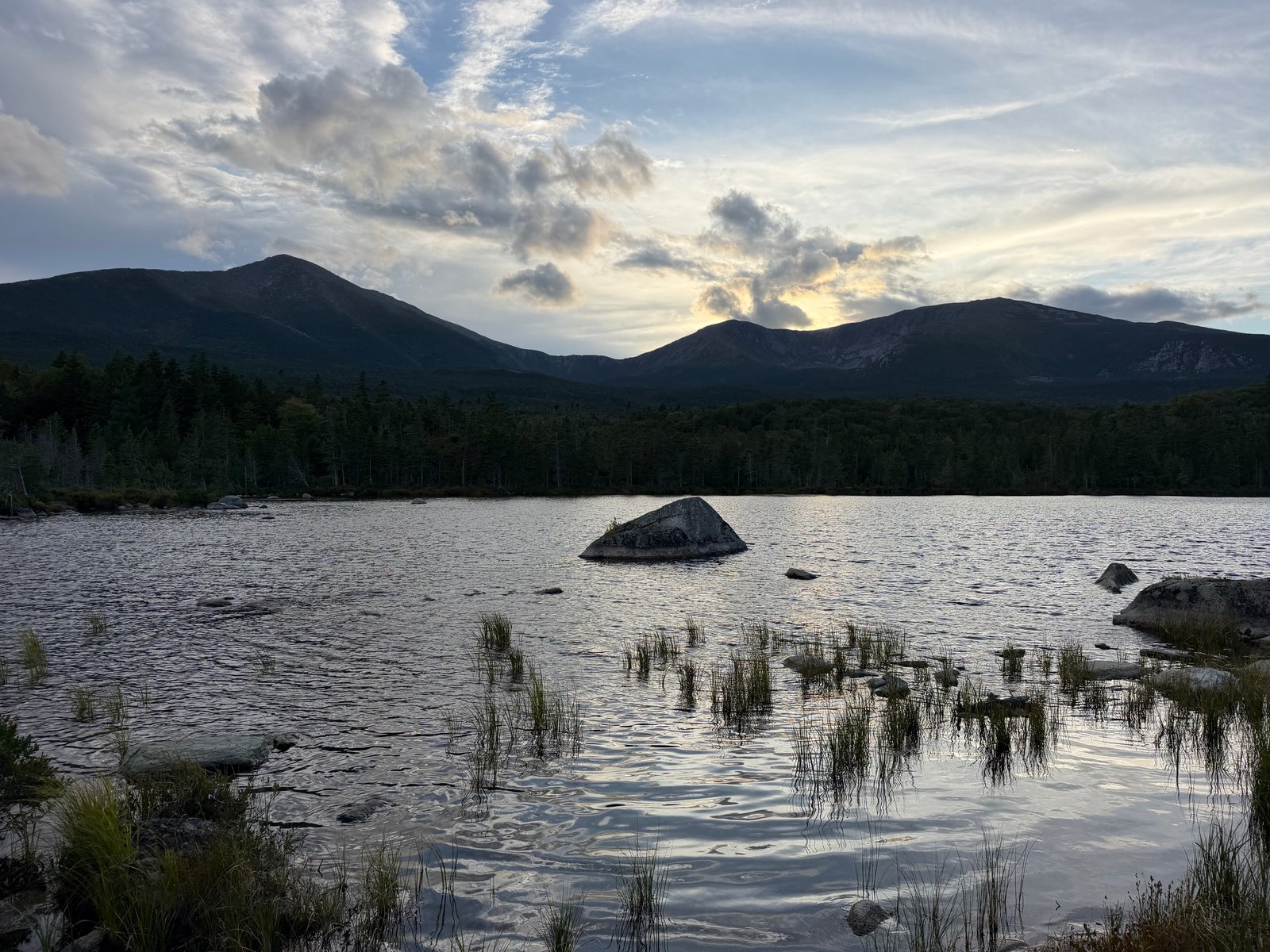
A full Katahdin day via Chimney Pond and the Saddle Trail, combining a long rocky approach, a loose slide and exposed alpine terrain.
This demanding Katahdin route begins at Roaring Brook, follows the rocky Chimney Pond Trail into the basin and then climbs the Saddle Trail to the Tableland and Baxter Peak. The approved out-and-back line covers 10.8 miles with about 3,727 feet of gain, so it calls for an early start, mountain weather gear and a realistic turnaround plan.
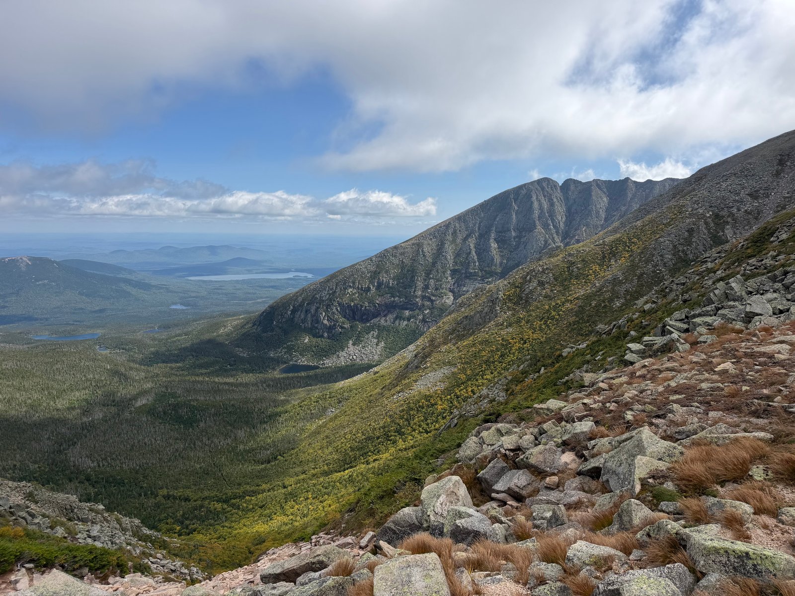
Chimney Pond Trail begins gradually and becomes more moderate and rocky. Above the pond, Saddle is Baxter State Park’s most gradual route to Baxter Peak, but it is still strenuous: the final approach to the Tableland includes a steep slide with loose stone and difficult footing. Katahdin access is managed and conditions change quickly; confirm current parking, trail status and weather guidance with the park before departure.
Route character
Long rocky approach to Chimney Pond
Steep, loose Saddle slide
Extended alpine exposure
Confirm current Katahdin access and conditions
Recorded by a community hiker and reviewed before publication. Route approved . Mileage follows the approved recorded line. Elevation is shown when a terrain audit or the approved recording provides enough reliable data.
Plan for the climb
Checking the latest forecast…
Forecast for the trailhead. Conditions higher up can be very different.
From the route