
✓Community
verified
verified
⌁2.4 miDistance
↗945 ftElevation gain
△2,466 ftHighest point
◇Out & backModerate
Know before you go
A forested climb from Bald Mountain Road to an open granite summit and observation tower above Rangeley’s lakes and western Maine peaks.
The Primary Trail climbs Bald Mountain’s west side from the Bald Mountain Road trailhead. The recorded out-and-back route measures 2.45 miles with about 945 feet of gain. The mapped access is Bald Mountain Road Trailhead in Rangeley, Maine.
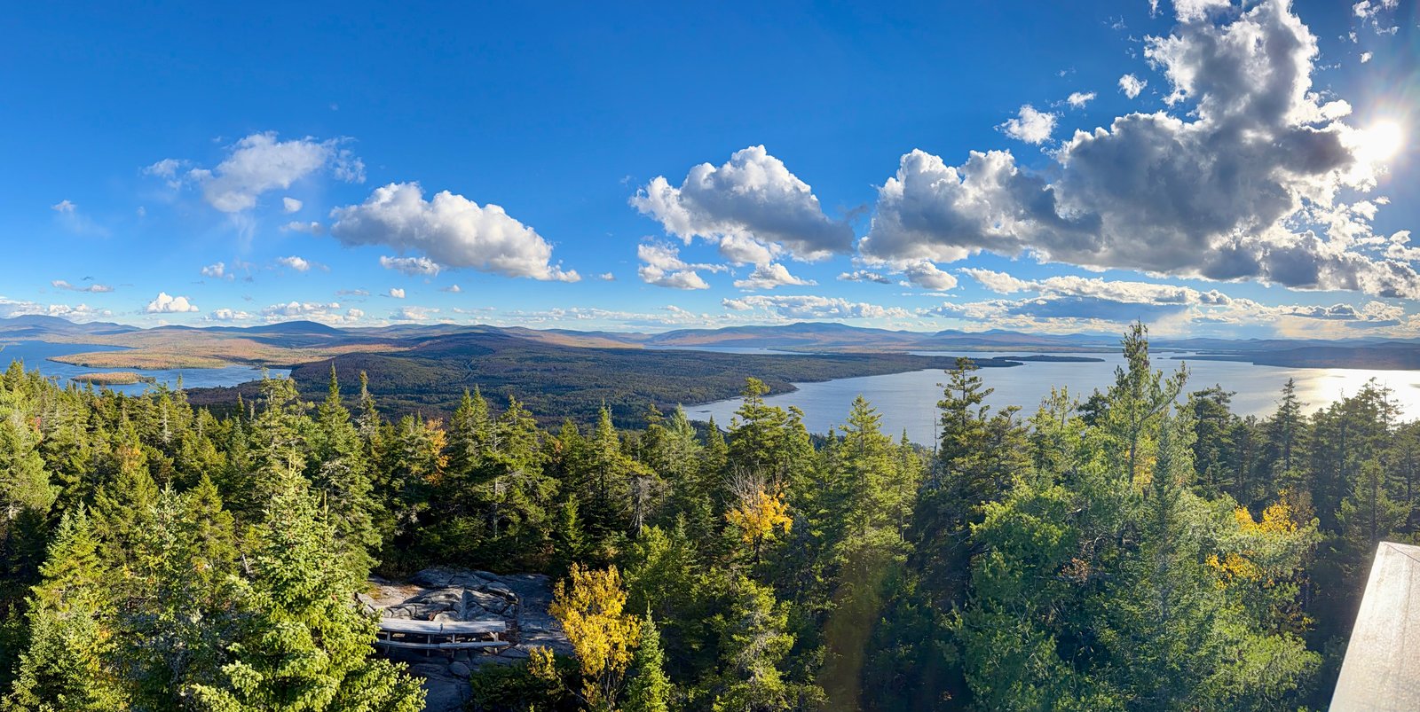
The lower route rises through northern hardwood forest, with a small stream crossing near the start and a gradual stretch through sugar maple. Higher up, the forest becomes denser with evergreen trees; boardwalks appear where the terrain flattens near the summit. The summit’s sparse spruce-pine woodland and granite outcrops frame the observation tower. Climbing the tower opens views over Rangeley and Mooselookmeguntic lakes toward the surrounding mountains and the White Mountains of New Hampshire.
Route figures follow the recorded line; descriptions of forest, terrain, and summit views are based on public state land-management and natural-history sources.
Route character
2.45-mile out-and-back with about 945 feet of recorded gain
Northern hardwood forest transitioning to evergreen woodland
Stream crossing and boardwalks near the upper mountain
Granite summit and observation tower with broad lake and mountain views
Recorded by a community hiker and reviewed before publication. Route approved . Mileage follows the approved recorded line. Elevation is shown when a terrain audit or the approved recording provides enough reliable data.
Plan for the climb
Checking the latest forecast…
Forecast for the trailhead. Conditions higher up can be very different.
From the route
Keep exploring
Stewart Family Preserve, Maine

Bucks Ledge Community Forest, Maine
Albany Township, Maine