
✓Community
verified
verified
⌁5.9 miDistance
↗2,600 ftElevation gain
△3,084 ftHighest point
◇Out & backHard
Know before you go
A demanding out-and-back from Puzzle Mountain Access, climbing the Grafton Loop Trail over open ledges to a broad-view summit in the Mahoosuc Range.
From Puzzle Mountain Access on Maine Route 26 in Newry, the Grafton Loop Trail climbs through the Stewart Family Preserve toward Puzzle Mountain. The recorded out-and-back line measures about 5.9 miles, with about 2,600 feet of elevation gain.
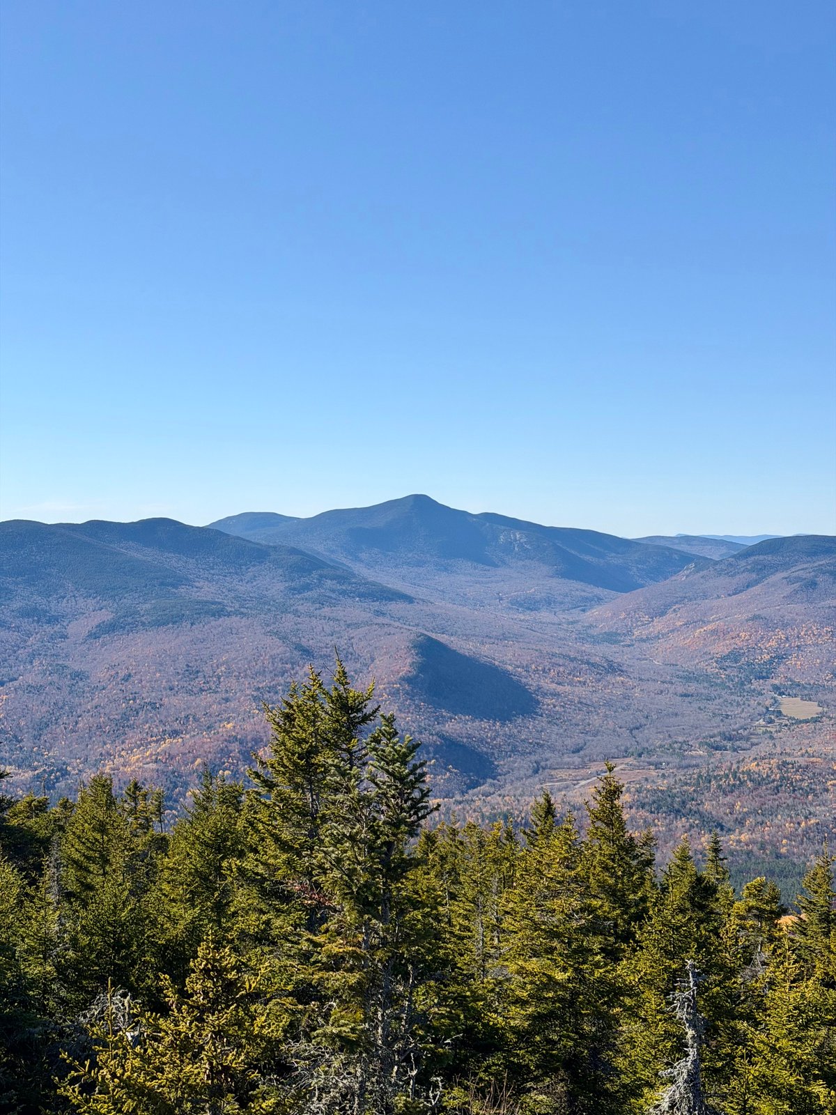
The trail rises past open ledges to Puzzle Mountain’s southwest summit, where the Mahoosuc Land Trust describes views across the Bear River Valley, the Mahoosuc Range and the Presidential Range. The return follows the same route. Near the summit, the Woodsum Spur branches away to form a longer loop; that spur is not part of this recorded out-and-back.
The route’s distance and elevation gain reflect the recorded line. Trail character, access context and surrounding views are described by the land trust, Maine Trail Finder and the clubs and agencies that maintain and guide hikers through the Grafton Notch area.
Route character
About 5.9 miles out and back with about 2,600 feet of recorded gain
Grafton Loop Trail approach from Puzzle Mountain Access on Maine Route 26
Open ledges and summit views toward the Bear River Valley, Mahoosuc and Presidential ranges
Woodsum Spur junction near the summit offers a separate longer-loop option
Recorded by a community hiker and reviewed before publication. Route approved . Mileage follows the approved recorded line. Elevation is shown when a terrain audit or the approved recording provides enough reliable data.
Plan for the climb
Checking the latest forecast…
Forecast for the trailhead. Conditions higher up can be very different.
From the route
Keep exploring

Bucks Ledge Community Forest, Maine
Albany Township, Maine
Noyes Mountain Preserve, Maine