
✓Community
verified
verified
⌁2.5 miDistance
↗670 ftElevation gain
△1,414 ftHighest point
◇Out & backEasy
Know before you go
Climb Douglas Mountain in Sebago, Maine, on the Eagle Scout approach, with a recorded route map, elevation profile, and photos from the hike.
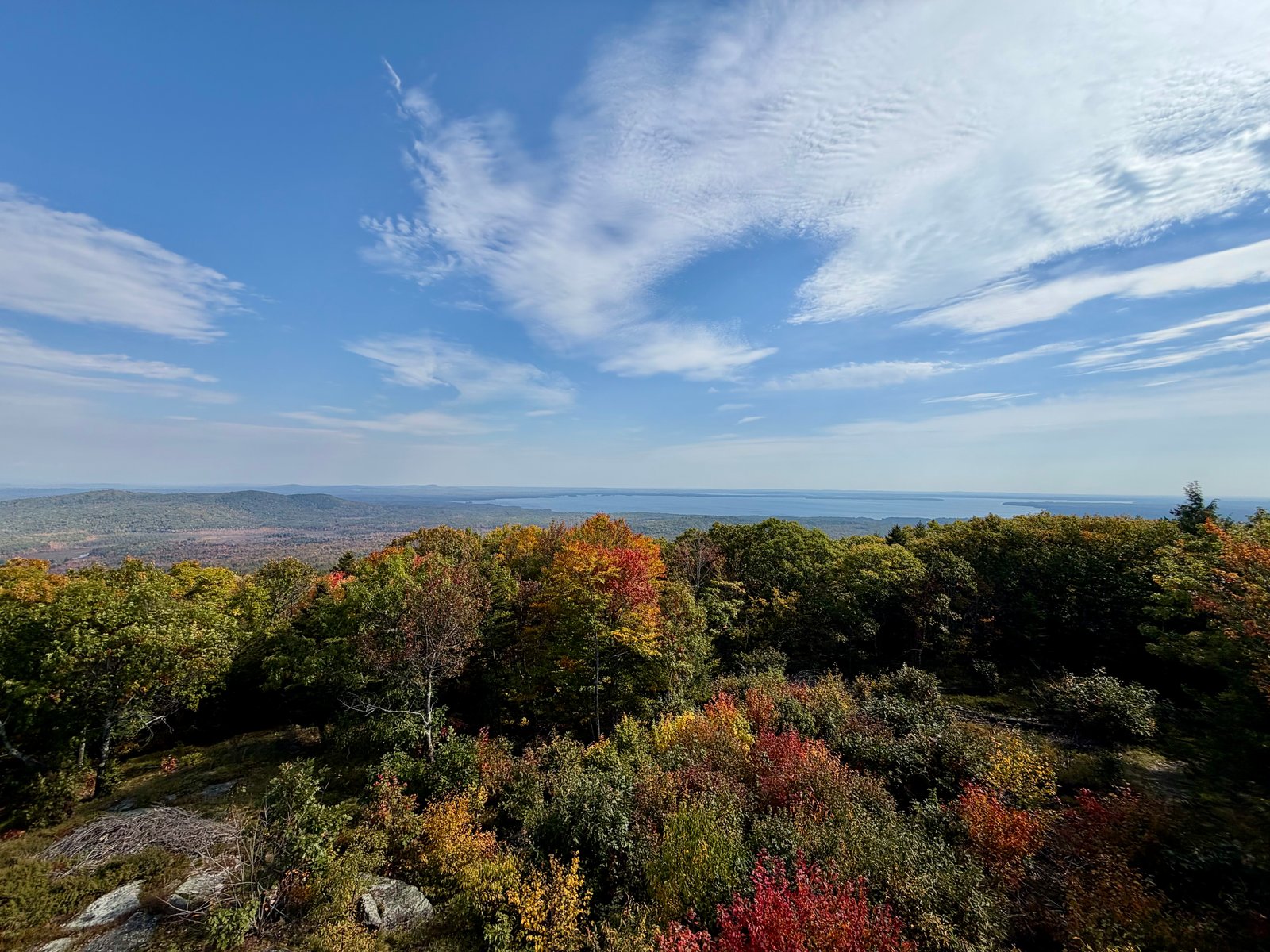
The Eagle Scout approach leads through the woods toward Douglas Mountain’s summit and stone observation tower in Sebago, Maine. The orange-marked trail has stream crossings and a steeper upper climb. Follow current trail markings and the mapped route; the preserve has several approaches with different starting points.
The route facts on this page describe this particular recorded out-and-back hike, rather than the length of the entire trail network. Compare its distance and elevation profile with your plans before setting out. The original photos and recorded line show the outing represented by this listing.
Use the designated parking area reached from Douglas Mountain Road. The separate upper trailhead is a drop-off point. Check the Town of Sebago’s current guidance and the posted kiosk for access rules, parking contributions, and any changes before your visit.
Route character
Woodland approach with stream crossings and a steeper upper climb
Stone observation tower at the summit
Several trail approaches: use the parking area for your chosen route
Recorded by a community hiker and reviewed before publication. Route approved . Mileage follows the approved recorded line. Elevation is shown when a terrain audit or the approved recording provides enough reliable data.
Plan for the climb
Checking the latest forecast…
Forecast for the trailhead. Conditions higher up can be very different.
From the route
Keep exploring
Bald Pate Mountain Preserve, Maine

Holt Pond Preserve, Maine

Pleasant Mountain, Maine