
Reviewed trail listing
Morgan Meadow Red Trail to Glover’s Wig Loop
⌖ Morgan Meadow Wildlife Management Area, Maine✓Community
verified
verified
⌁1.7 miDistance
↗290 ftElevation gain
△590 ftHighest point
◇LoopEasy
Reviewed trail listing
Know before you go
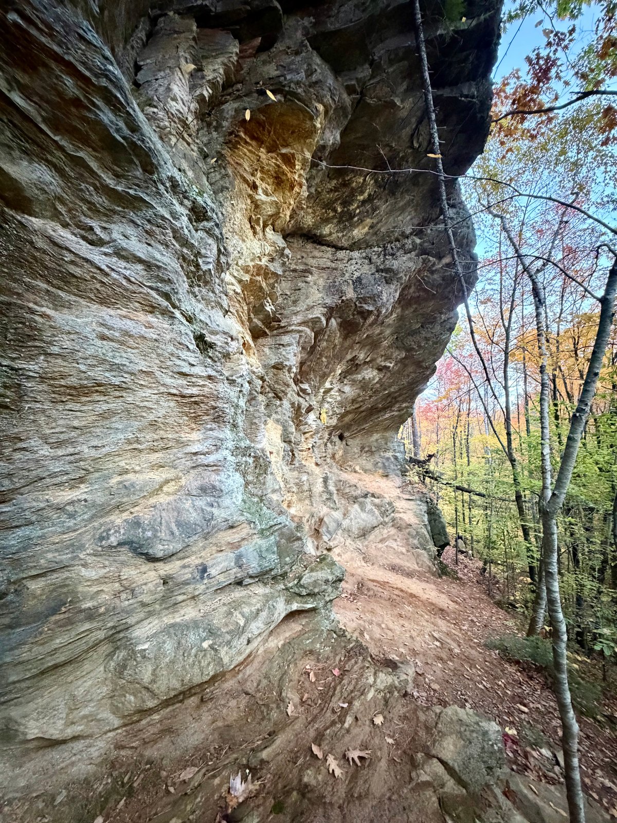
A forested loop at Morgan Meadow Wildlife Management Area, linking the Red Trail with the Glover’s Wig route through a landscape of woodland and wetland.
This 1.74-mile loop begins and ends at Morgan Meadow Trailhead in Morgan Meadow Wildlife Management Area in Raymond, Maine. The approved route follows the Red Trail to the Glover’s Wig loop and returns to the same access. The recorded line gains about 290 feet. These measurements describe this route; distances printed for individual paths on the town map refer to separate trail segments.
The Town of Raymond’s Morgan Meadow map places Glover’s Wig among a wider network of paths that also includes the Meadow Link and Spiegel trails. The map describes Glover’s Wig as difficult and gives its approximate segment distance as 0.85 mile. Grades and footing can vary along a route, particularly on that section.
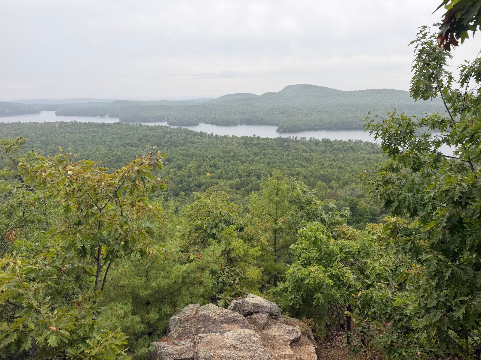
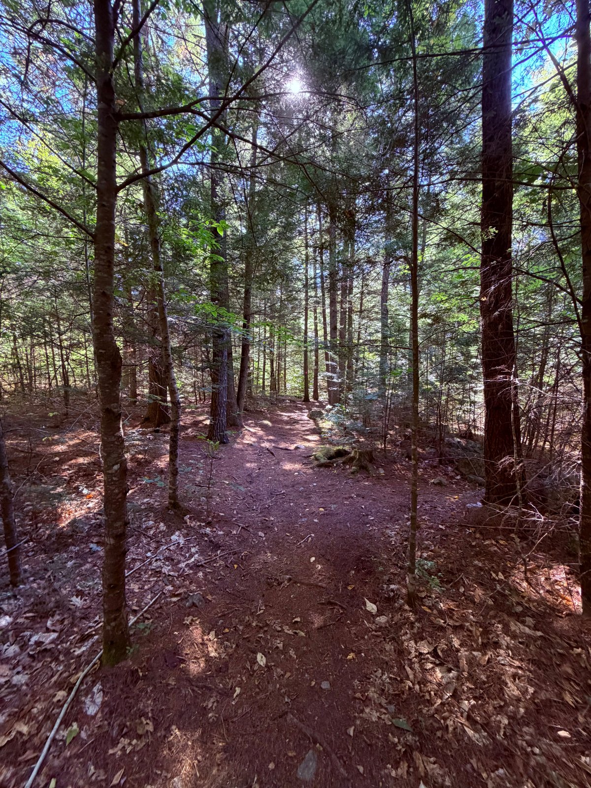
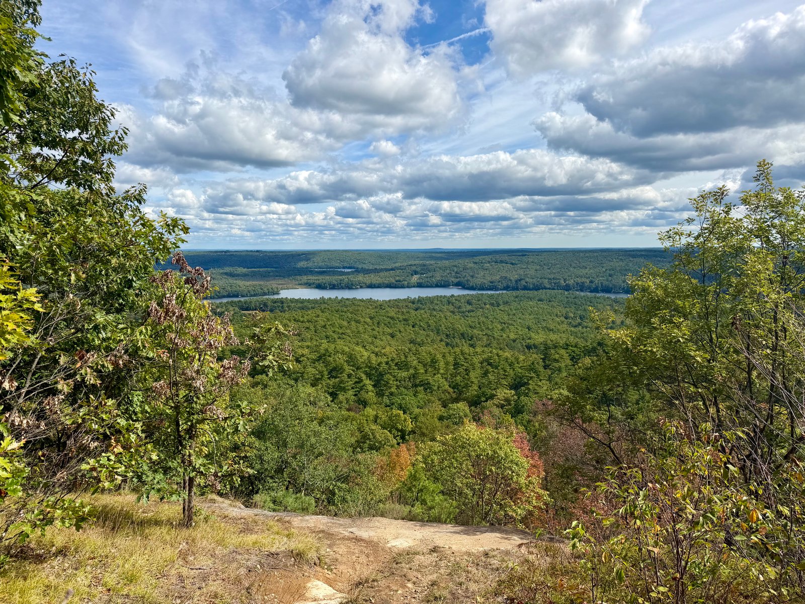
Morgan Meadow is a broad woodland and freshwater wetland landscape. Public descriptions identify old-growth white pine and black birch stands, with the surrounding woods and wetlands providing habitat for waterfowl, deer and moose. The setting combines quiet forest travel with the open edges and wildlife habitat of the meadow wetlands.
Route measurements come from the recorded hike. Trail-network context and natural features are drawn from the municipal map, Maine Trail Finder and Maine Department of Inland Fisheries and Wildlife guidance.
Route character
1.74-mile loop with about 290 feet of recorded elevation gain
Follows the Red Trail to the Glover’s Wig loop and returns to Morgan Meadow Trailhead
Glover’s Wig is marked difficult on the Town of Raymond trail map
Woodland and freshwater wetland habitat, including old-growth white pine and black birch
Recorded by a community hiker and reviewed before publication. Route approved . Mileage follows the approved recorded line. Elevation is shown when a terrain audit or the approved recording provides enough reliable data.
Plan for the climb
Checking the latest forecast…
Forecast for the trailhead. Conditions higher up can be very different.
From the route
Keep exploring
Raymond, Maine
Raymond, Maine
Raymond, Maine