
✓Community
verified
verified
⌁1.5 miDistance
↗548 ftElevation gain
△779 ftHighest point
◇Out & backEasy
Know before you go
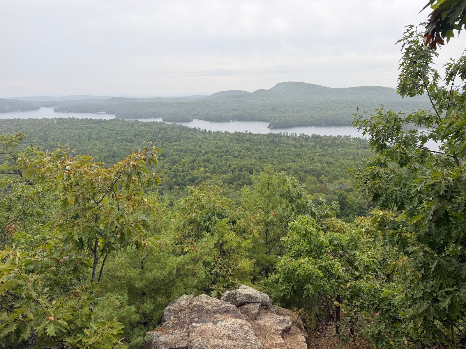
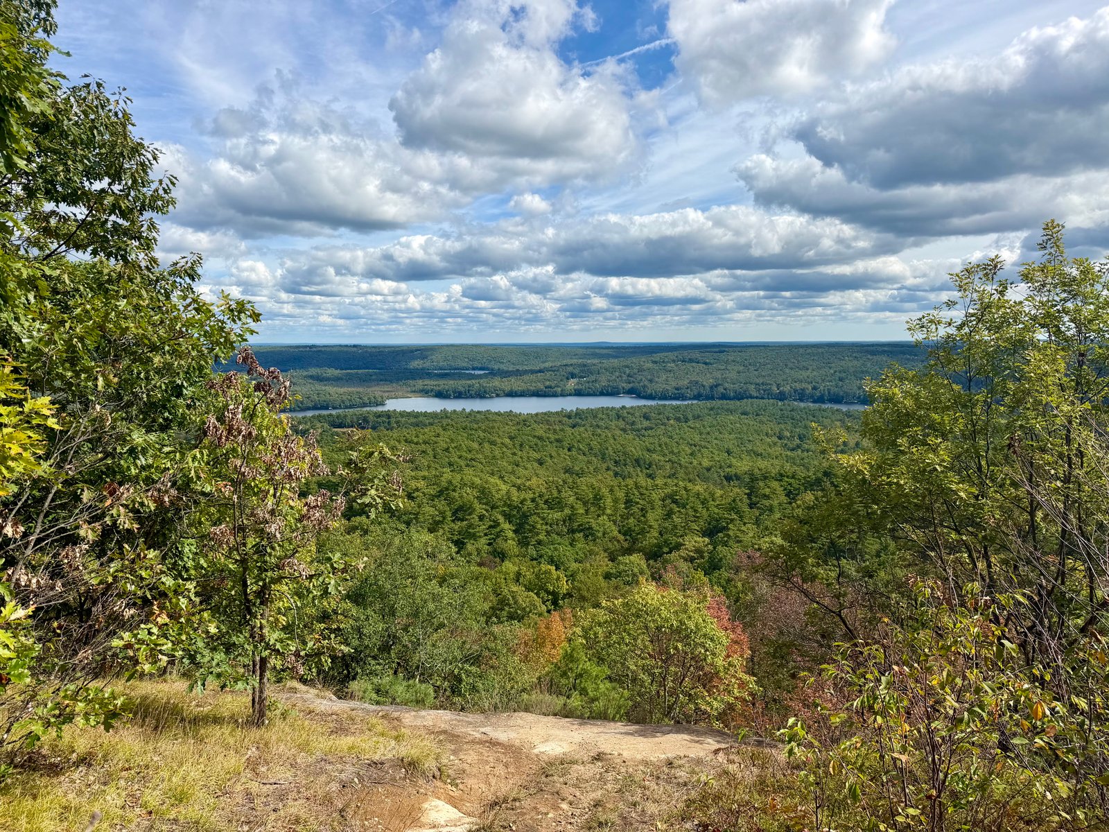
A compact forest climb with stone steps and a rewarding southwest-facing bluff in Raymond Community Forest.
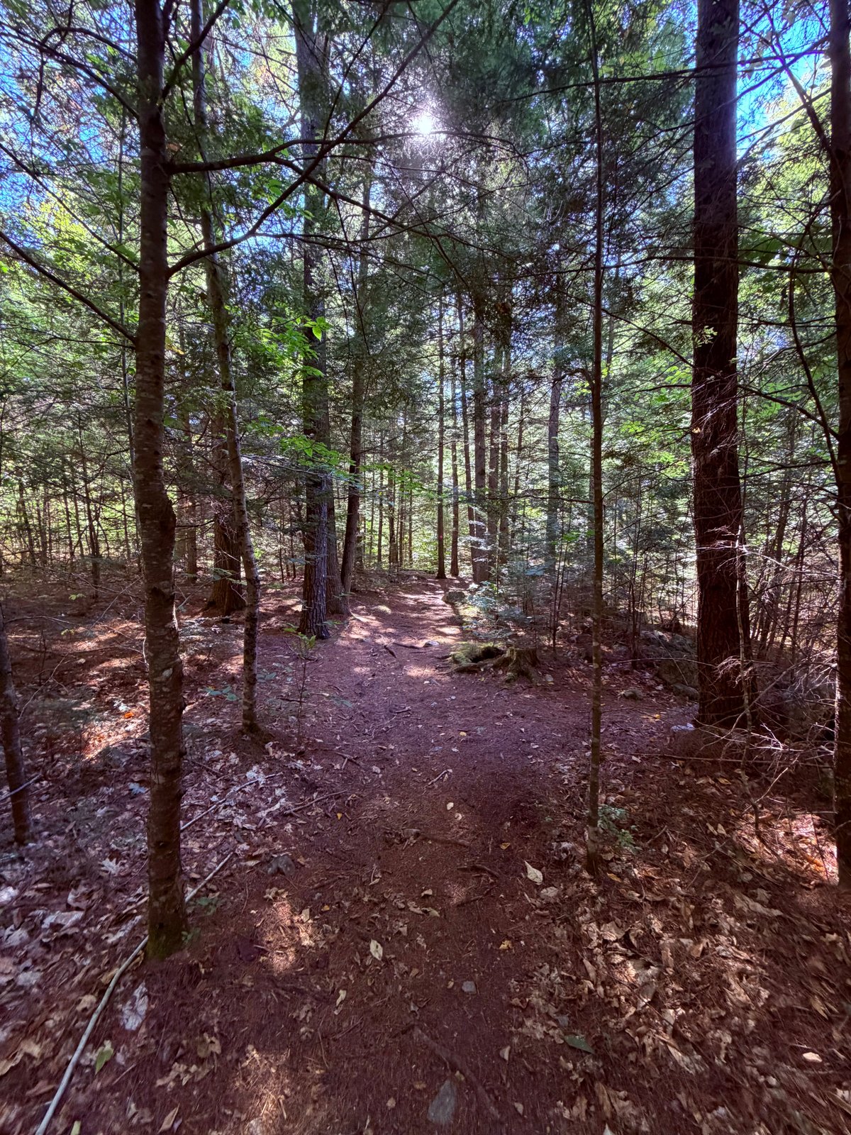
Pismire Bluff Trail begins within Raymond Community Forest’s lower trail network before turning onto the blue-blazed, pedestrian-only climb. The approved out-and-back line measures 1.5 miles with about 531 feet of gain, moving quickly from young forest into steeper ground and stone steps.
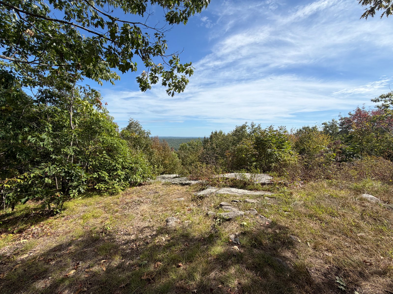
The bluff is the payoff: an open southwest-facing viewpoint above the forest. Use caution near the edge and stay on durable surfaces, where the land trust asks hikers to avoid the fragile, eroding soils around the overlook. The wider preserve has four miles of trails, including gentler lower loops and the Highlands Loop on top of Pismire Mountain, so the kiosk map is useful if you want to extend the day.
Route character
Blue-blazed pedestrian trail
Steep sections with stone steps
Southwest-facing bluff view
Fragile soils near the overlook
Start at Raymond Community Forest on Conesca Road. The land trust lists the access at 138 Conesca Road. Photograph the kiosk map before leaving; the network does not have “you are here” signs.
The blue-marked Pismire Bluff Trail is for pedestrians and has steep sections and stone steps. Use the lower Spiller Homestead Loop for a gentler outing, and stay on durable ground at the overlook.
Recorded by a community hiker and reviewed before publication. Route approved . Mileage follows the approved recorded line. Elevation is shown when a terrain audit or the approved recording provides enough reliable data.
Plan for the climb
Checking the latest forecast…
Forecast for the trailhead. Conditions higher up can be very different.
From the route
Keep exploring
Raymond, Maine
Raymond, Maine
Poland, Maine