
✓Community
verified
verified
⌁2.1 miDistance
↗578 ftElevation gain
△882 ftHighest point
◇Out & backEasy
Know before you go
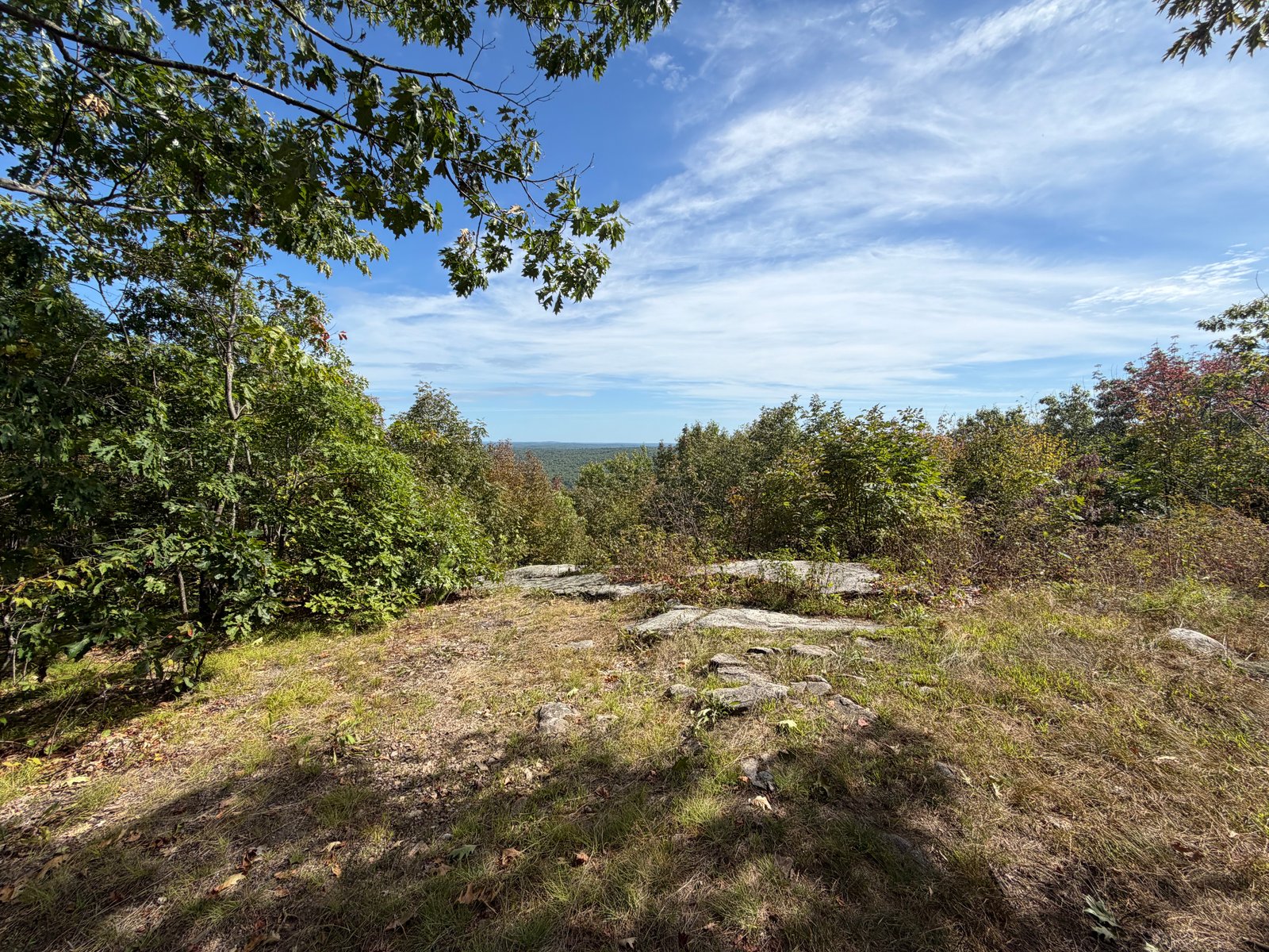
An easygoing forest climb on a broad access road, finishing near the summit clearing with an eastward view toward the Range Ponds.
Black Cat Mountain offers a straightforward climb on a broad dirt access road through quiet forest. The approved route is a 2.1-mile out-and-back with about 578 feet of gain, making it a compact option when you want a steady ascent without a long approach.
Several snowmobile tracks meet the road along the way, so pay attention at junctions and keep to the recorded line. Near the top, the forest opens around the communications tower and reveals a view toward the Range Ponds. Parking is limited near the gate, and this low-key access has fewer signs and facilities than a managed preserve.
Route character
Broad dirt-road approach
Intersecting snowmobile tracks
Range Pond view near the summit
Limited roadside parking near the gate
Recorded by a community hiker and reviewed before publication. Route approved . Mileage follows the approved recorded line. Elevation is shown when a terrain audit or the approved recording provides enough reliable data.
Plan for the climb
Checking the latest forecast…
Forecast for the trailhead. Conditions higher up can be very different.
From the route
Keep exploring
Poland, Maine
Poland, Maine
Bragdon Hill Conservation Area, Maine