
✓Community
verified
verified
⌁1.4 miDistance
↗101 ftElevation gain
△135 ftHighest point
◇LoopEasy
Know before you go
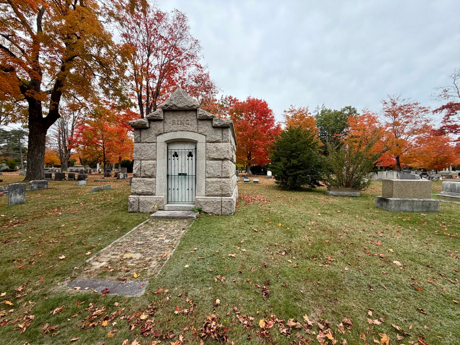
A short woodland circuit beside Portland's historic Evergreen Cemetery, with modest recorded elevation gain and the wetlands, ponds and bird habitat of the surrounding Evergreen Woods trail network.
Evergreen Cemetery Woods Loop follows a 1.38-mile circuit in Portland, Maine, with about 101 feet of recorded elevation gain. The route starts and finishes at Evergreen Cemetery Trail Access, then travels through the woods west of the cemetery. Its mileage and gain describe this recorded circuit within the larger trail network.
The official Evergreen Trails map shows the Evergreen Loop, the Forest City Trail and several connecting paths through this woodland. Intersections offer different ways to extend a walk or reach nearby neighborhoods, making the route map useful for following this particular circuit back to its starting access.
Evergreen Woods brings forest, wetlands and ponds into the city landscape. Portland Trails describes natural earth, rock ledges and boardwalks across the network, along with a separate improved-access loop surfaced with stone dust. Grades and surfaces vary between trails; the characteristics of that improved-access loop do not describe every connecting path. Maine Trail Finder also notes exposed roots on the woodland trails.
The surrounding cemetery landscape dates to the nineteenth century, and its forest and ponds provide habitat for wildlife and migratory birds. This setting gives a short woodland outing both natural and historic context. Route measurements come from the recorded hike; landscape and trail character are drawn from Portland Trails, the official maps and local public guides. The linked Portland Trails guidance provides current access information.
Route character
1.38-mile loop with about 101 feet of recorded elevation gain
Woodland circuit from Evergreen Cemetery Trail Access in Portland
Connected trails within a forest, wetland and pond landscape
Bird habitat beside a historic nineteenth-century cemetery
Recorded by a community hiker and reviewed before publication. Route approved . Mileage follows the approved recorded line. Elevation is shown when a terrain audit or the approved recording provides enough reliable data.
Plan for the climb
Checking the latest forecast…
Forecast for the trailhead. Conditions higher up can be very different.
From the route
Keep exploring
Morgan Meadow Wildlife Management Area, Maine
Raymond, Maine
Raymond, Maine