
✓Community
verified
verified
⌁1.0 miDistance
↗174 ftElevation gain
△73 ftHighest point
◇LoopEasy

Know before you go
An east-side loop on Orr’s Island through mixed woods to Gun Point Cove, with rocky shoreline views and opportunities to watch coastal birds and seals.
Devil’s Back Trail - East follows the eastern side of the Devil’s Back Trail Area on Orr’s Island in Harpswell, Maine. Beginning at the mapped access beside Harpswell Islands Road, this recorded loop measures about 1.04 miles with about 174 feet of recorded elevation gain.
The route passes through mixed hardwood and softwood forest and descends toward Gun Point Cove. Woodland sections alternate with openings toward the rocky shore, combining a sheltered forest walk with views across the cove. The official trail map labels the Gun Point Cove Loop and Seal Rock Trail on this side of the road.
The town and land trust describe the cove as a place to watch for seals around the exposed rocks, with ospreys and bald eagles also seen in the area. Wildlife sightings are possible rather than assured. The western Devil’s Back trails face Long Cove and form a separate part of the network; they are not included in this east-side route’s mileage.
Distance and climbing describe the recorded hike. Forest, shoreline and wildlife context follow the Town of Harpswell and Harpswell Heritage Land Trust guides and map. The linked town page provides current visitor guidance for the trail area.
Route character
Recorded 1.04-mile loop with about 174 feet of elevation gain
Mixed hardwood and softwood forest on Orr’s Island
Gun Point Cove views along the eastern trail network
Opportunities to watch seals, ospreys and bald eagles
Recorded by a community hiker and reviewed before publication. Route approved . Mileage follows the approved recorded line. Elevation is shown when a terrain audit or the approved recording provides enough reliable data.
Plan for the climb
Checking the latest forecast…
Forecast for the trailhead. Conditions higher up can be very different.
From the route
Keep exploring
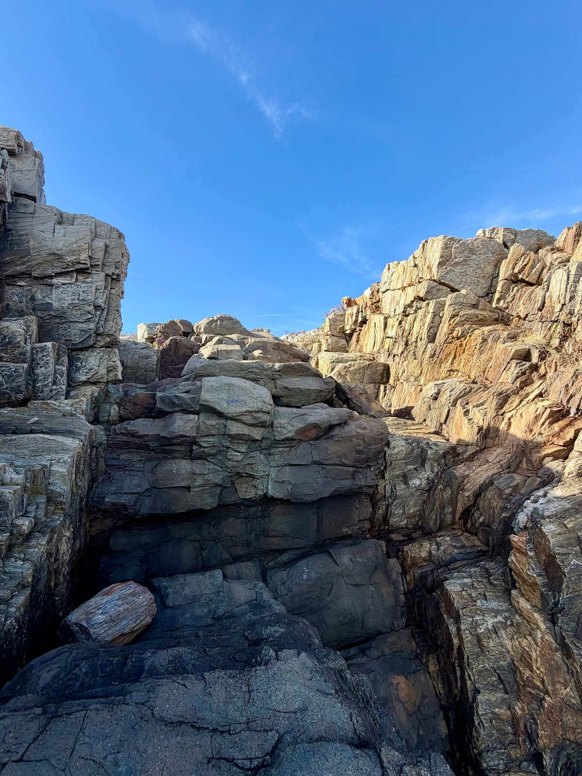
Giant’s Stairs Trail, Maine
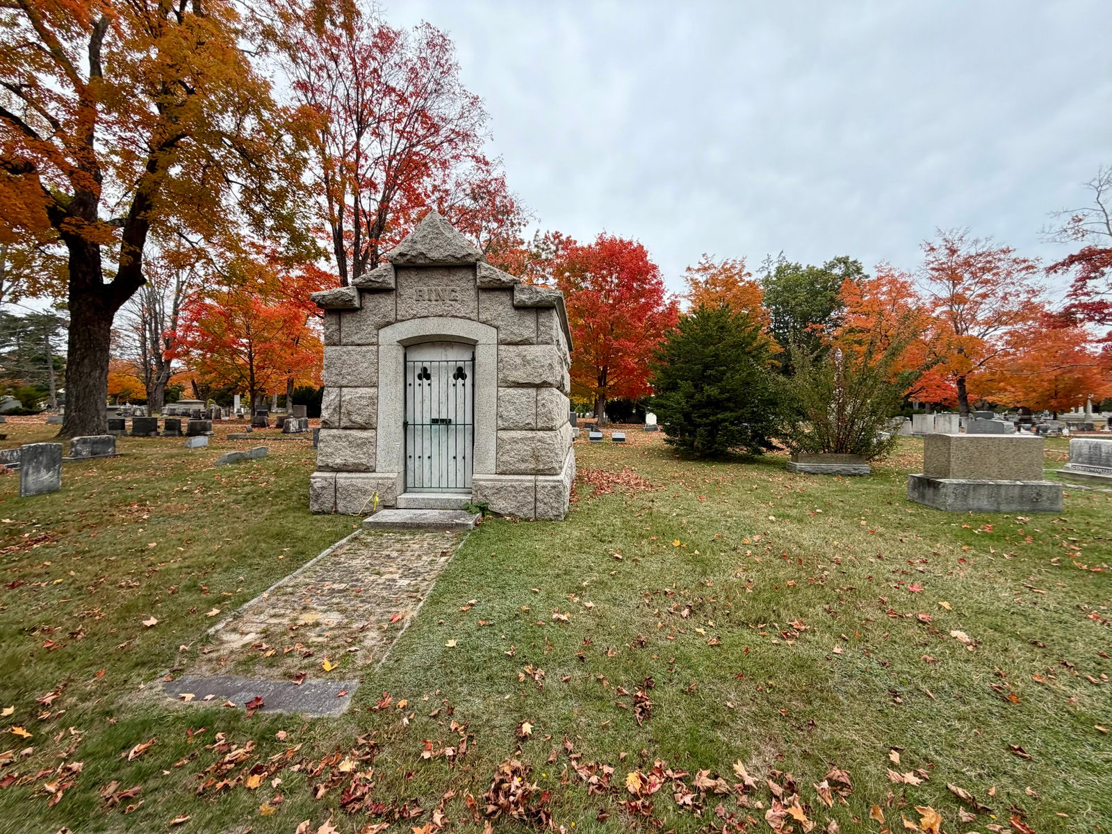
Evergreen Cemetery Woods, Maine
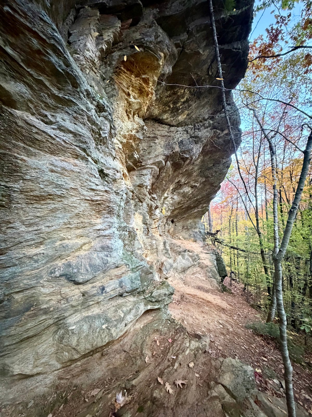
Morgan Meadow Wildlife Management Area, Maine