
✓Community
verified
verified
⌁0.5 miDistance
↗61 ftElevation gain
△59 ftHighest point
◇Out & backEasy
Know before you go
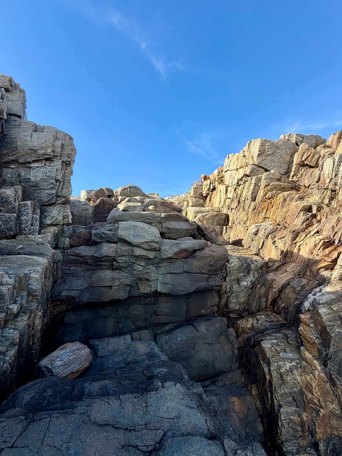
A short coastal walk on Bailey Island, following ledges above eastern Casco Bay to the distinctive rock formation that gives Giant’s Stairs its name.
Giant’s Stairs Trail explores the rocky eastern shore of Bailey Island in Harpswell, Maine. Starting at the mapped Giant’s Stairs Access near Washington Avenue, this recorded out-and-back covers about 0.54 miles with about 61 feet of recorded elevation gain.
The town’s coastal trail combines a widened, stabilized footpath with stretches across rocky ledges. Open views extend over eastern Casco Bay, where sea ducks, harbor seals and working lobster boats may be visible. The shoreline’s folded rock layers and dark basalt seam reflect the geological processes behind the stair-like formation.
The adjoining McIntosh Lot Preserve connects the shoreline with Washington Avenue and offers another way to make a loop through the area. The distance and climbing here describe the recorded out-and-back, rather than that alternate circuit. The official map distinguishes the town-owned coastal strip from the neighboring preserve and private land.
Route measurements come from the recorded hike. Coastal character, geology and the surrounding trail connections follow the Town of Harpswell and Harpswell Heritage Land Trust guides and map. Current visitor guidance is available from the linked official sources.
Route character
Recorded 0.54-mile out-and-back with about 61 feet of elevation gain
Rocky coastal ledges and views across eastern Casco Bay
Folded rock layers and the basalt formation behind the Giant’s Stairs name
Adjacent McIntosh Lot Preserve connection shown on the official map
Recorded by a community hiker and reviewed before publication. Route approved . Mileage follows the approved recorded line. Elevation is shown when a terrain audit or the approved recording provides enough reliable data.
Plan for the climb
Checking the latest forecast…
Forecast for the trailhead. Conditions higher up can be very different.
From the route
Keep exploring
Devil’s Back Trail Area, Maine
Evergreen Cemetery Woods, Maine
Morgan Meadow Wildlife Management Area, Maine